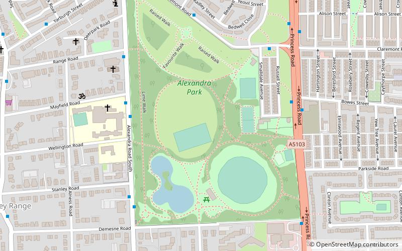
Alexandra Park, Manchester
Map

Map

Facts and practical information
Alexandra Park is a 60-acre park in Manchester, England, designed by Alexander Gordon Hennell, and opened to the public in 1870. The lodge and gateways are the work of Alfred Darbyshire. The park was developed by Manchester Corporation before the area was incorporated into the city, the site being purchased in 1864 from William Egerton, 1st Baron Egerton. The roads to the East and West sides of the park were named Princess Road and Alexandra Road, also in honour of Princess Alexandra. ()
Created: 1868Elevation: 108 ft a.s.l.Coordinates: 53°27'5"N, 2°14'57"W
Address
180 Russell StreetWhalley RangeManchester M16 7JL
Contact
+44 161 234 5000
Social media
Add
Day trips
Alexandra Park – popular in the area (distance from the attraction)
Nearby attractions include: Whitworth Art Gallery, Platt Fields Park, Hulme Park, Christ Church.
Frequently Asked Questions (FAQ)
Which popular attractions are close to Alexandra Park?
Nearby attractions include Moss Side, Manchester (9 min walk), Whalley Range, Manchester (10 min walk), British Muslim Heritage Centre, Manchester (17 min walk), Church of St Mary, Manchester (18 min walk).
How to get to Alexandra Park by public transport?
The nearest stations to Alexandra Park:
Bus
Tram
Bus
- Moss Lane East/Westwood Street • Lines: 15 (15 min walk)
Tram
- St Werburgh's Road • Lines: Airp, Dean, EDid, Roch, Shaw, Vict (29 min walk)
- Chorlton • Lines: Airp, Dean, EDid, Roch, Shaw, Vict (30 min walk)

 Metrolink
 Metrolink / Rail


