British Steeplechasing Hall of Fame, Cheltenham
Map
Facts and practical information
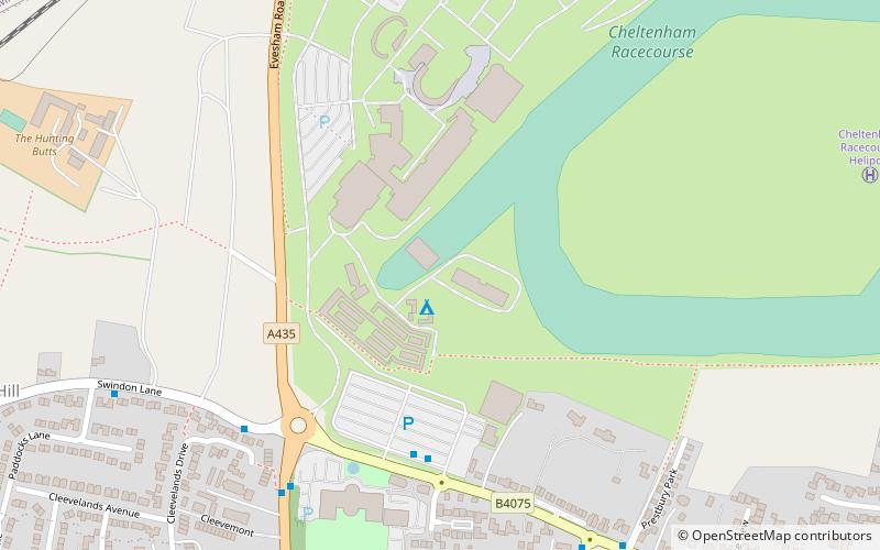
The Steeplechasing Hall of Fame is a museum at Prestbury Park, in the village of Prestbury, Gloucestershire. Opened in 1994 at Cheltenham Racecourse, the Hall of Fame charts steeplechasing history from 1819 and showcases the sport's riders and trainers associated with National Hunt racing. ()
Coordinates: 51°55'5"N, 2°4'1"W
Address
Cheltenham
ContactAdd
Social media
Add
Getting there by public transportation
Public transportation stops near this location
- Train
 Train
Train
- Calculate routeCheltenham Racecourse 12 min walk
Day trips


Frequently Asked Questions (FAQ)
Which popular attractions are close to British Steeplechasing Hall of Fame?
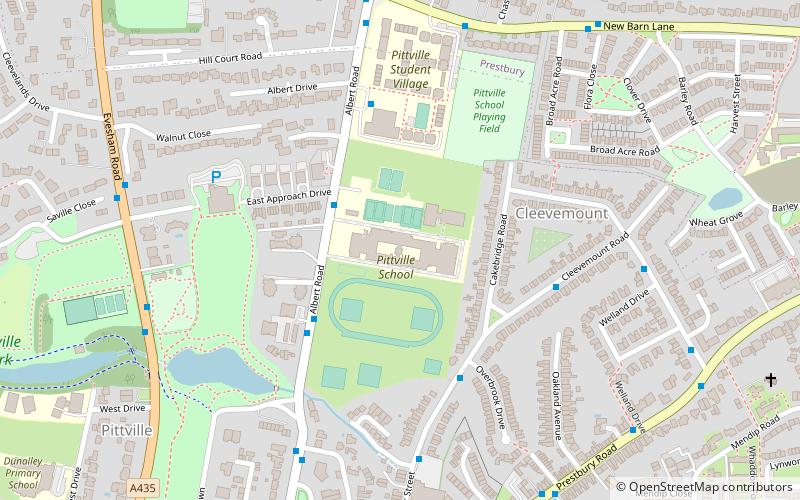
Nearby attractions include Pittville Pump Room, Cheltenham (13 min walk), Pittville Park, Cheltenham (15 min walk), Pittville, Cheltenham (16 min walk), Whaddon Road, Cheltenham (23 min walk).
How to get to British Steeplechasing Hall of Fame by public transport?
The nearest stations to British Steeplechasing Hall of Fame:
Train
Train
- Cheltenham Racecourse (12 min walk)