Casterley Camp
Map
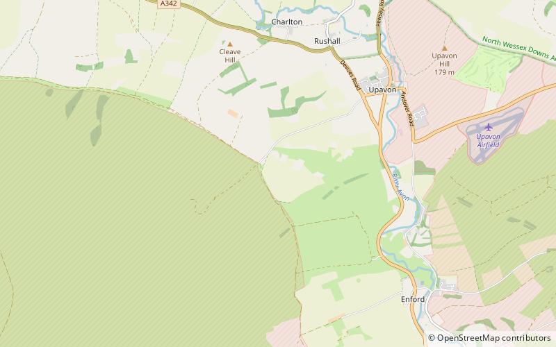
Map

Facts and practical information
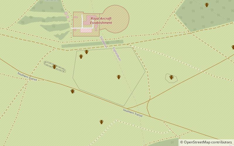
Casterley Camp is the site of an Iron Age univallate hillfort in Wiltshire, England, about 1+1⁄2 miles southwest of the village of Upavon. The site comprises a large Iron Age/Romano-British enclosure, possibly non-defensive in function, and incomplete. It was partially excavated in the 19th century. ()
Coordinates: 51°16'51"N, 1°50'8"W
Location
England
ContactAdd
Social media
Add
Day trips
Casterley Camp – popular in the area (distance from the attraction)
Nearby attractions include: All Saints Church, Jones's Mill, Marden Henge, White Barrow.


