Robin Hood's Ball, Stonehenge

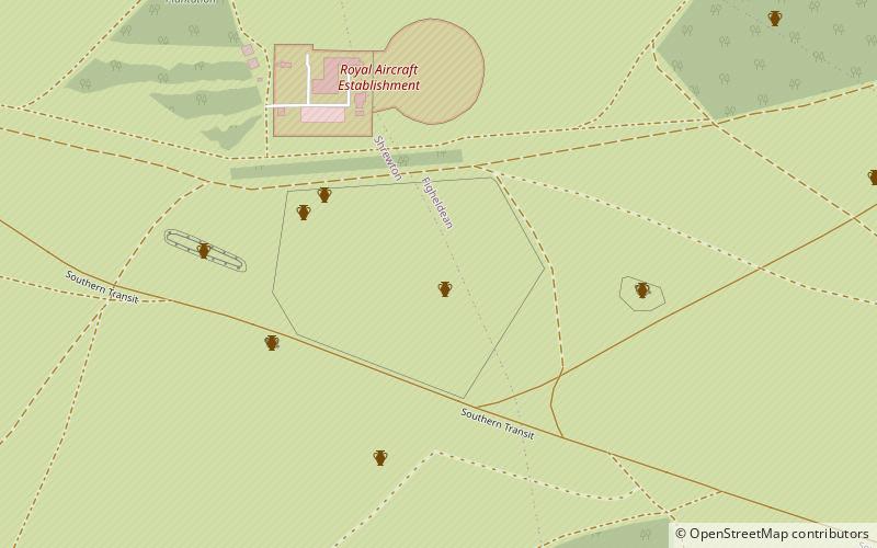
Map
Facts and practical information
Robin Hood’s Ball is a Neolithic causewayed enclosure on Salisbury Plain in Wiltshire, England, approximately 5 miles northwest of the town of Amesbury, and 2+1⁄2 miles northwest of Stonehenge. The site was designated as a scheduled monument in 1965. ()
Coordinates: 51°12'46"N, 1°51'18"W
Address
Stonehenge
ContactAdd
Social media
Add
Day trips
Robin Hood's Ball – popular in the area (distance from the attraction)
Nearby attractions include: Stonehenge Cursus, Bush Barrow, Normanton Down Barrows, Durrington Walls.


