Burridge Fort, Barnstaple
Map

Map

Facts and practical information
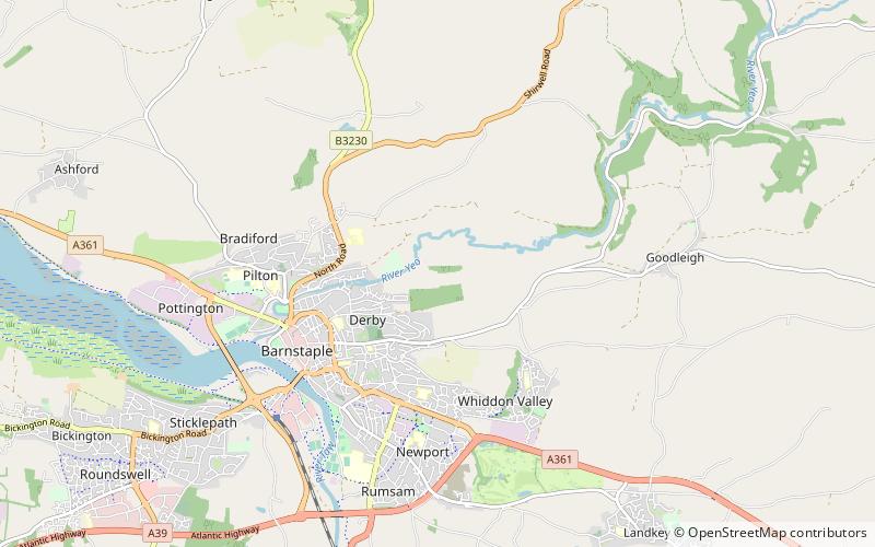
Burridge Fort is an Iron Age Hill fort situated to the North East of Barnstaple in Devon, England. The fort occupies a hill top approx 150 Metres above Sea Level overlooking the Yeo and Bradiford rivers. ()
Coordinates: 51°5'17"N, 4°2'17"W
Address
Barnstaple
ContactAdd
Social media
Add
Day trips
Burridge Fort – popular in the area (distance from the attraction)
Nearby attractions include: Museum of Barnstaple and North Devon, Queen Anne's Walk, Barnstaple Castle, Albert Clock.
Frequently Asked Questions (FAQ)
How to get to Burridge Fort by public transport?
The nearest stations to Burridge Fort:
Bus
Train
Bus
- Barnstaple Bus Station (27 min walk)
Train
- Barnstaple (38 min walk)


