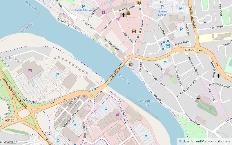
Barnstaple Long Bridge, Barnstaple
Map

Map

Facts and practical information
Barnstaple Long Bridge is a medieval bridge linking Tawstock with Barnstaple in North Devon, England, spanning the River Taw. One of the largest medieval bridges in Britain, it is a Grade I listed building and ancient monument. Another major medieval bridge, the Bideford Long Bridge over the River Torridge, is a few miles away. ()
Length: 522 ftCoordinates: 51°4'39"N, 4°3'36"W
Day trips
Barnstaple Long Bridge – popular in the area (distance from the attraction)
Nearby attractions include: Museum of Barnstaple and North Devon, Queen Anne's Walk, Barnstaple Castle, Albert Clock.
Frequently Asked Questions (FAQ)
Which popular attractions are close to Barnstaple Long Bridge?
Nearby attractions include Museum of Barnstaple and North Devon, Barnstaple (2 min walk), Albert Clock, Barnstaple (2 min walk), Barnstaple Castle, Barnstaple (4 min walk), Dodderidgian Library, Barnstaple (5 min walk).
How to get to Barnstaple Long Bridge by public transport?
The nearest stations to Barnstaple Long Bridge:
Bus
Train
Bus
- Barnstaple Bus Station (5 min walk)
Train
- Barnstaple (8 min walk)


