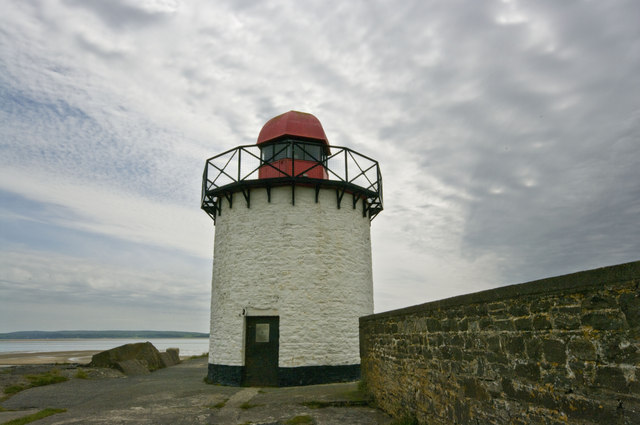
Burry Port Lighthouse, Burry Port
Map
Gallery
Facts and practical information
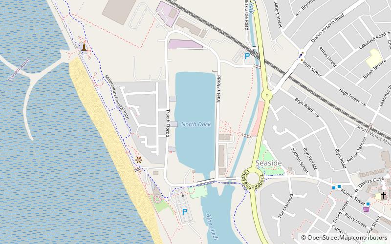
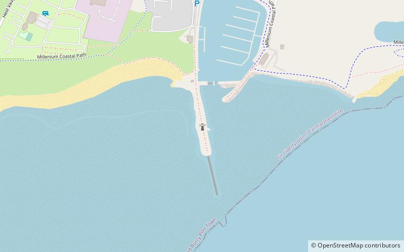
Burry Port harbour was built between 1830 and 1836 to replace the harbour at Pembrey, located 400 yards to the west. Burry Port was once the main coal exporting port for the nearby valleys, but the dock now houses the only marina in Carmarthenshire, and the harbour was dredged especially for this purpose. ()
Coordinates: 51°40'39"N, 4°15'4"W
Address
Burry Port
ContactAdd
Social media
Add
Day trips
Burry Port Lighthouse – popular in the area (distance from the attraction)
Nearby attractions include: Ffos Las Racecourse, Stradey Park Cricket Ground, Llanelli Town Hall, Parc Howard.


