Delamont Country Park

Gallery (1)
Map
Map
Facts and practical information
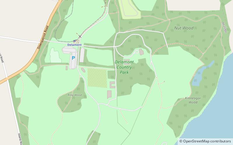
Delamont Country Park is located on the shores of Strangford Lough in County Down, Northern Ireland. It covers an area of approximately 200 acres 2 km south of Killyleagh. It is currently maintained by Newry, Mourne and Down District Council having previously been under the control of Down District Council. ()
Elevation: 135 ft a.s.l.Coordinates: 54°22'53"N, 5°40'26"W
Location
Northern Ireland
ContactAdd
Social media
Add
Day trips


