Crossgar Golf Club, Crossgar

Gallery (1)
Map
Map
Facts and practical information
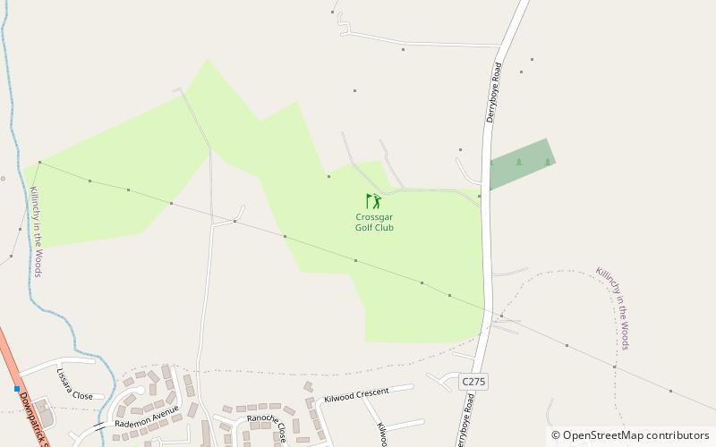
Crossgar Golf Club (address: 231 Derryboy Road) is a place located in Crossgar (Northern Ireland province) and belongs to the category of golf.
It is situated at an altitude of 89 feet, and its geographical coordinates are 54°24'6"N latitude and 5°45'23"W longitude.
Among other places and attractions worth visiting in the area are: Delamont Country Park (park, 92 min walk), Killyleagh Castle, Killyleagh (forts and castles, 105 min walk), Rowallane Garden, Saintfield (garden, 108 min walk).
Coordinates: 54°24'6"N, 5°45'23"W
Day trips


