Castle Dore, Par
Map

Gallery

Facts and practical information
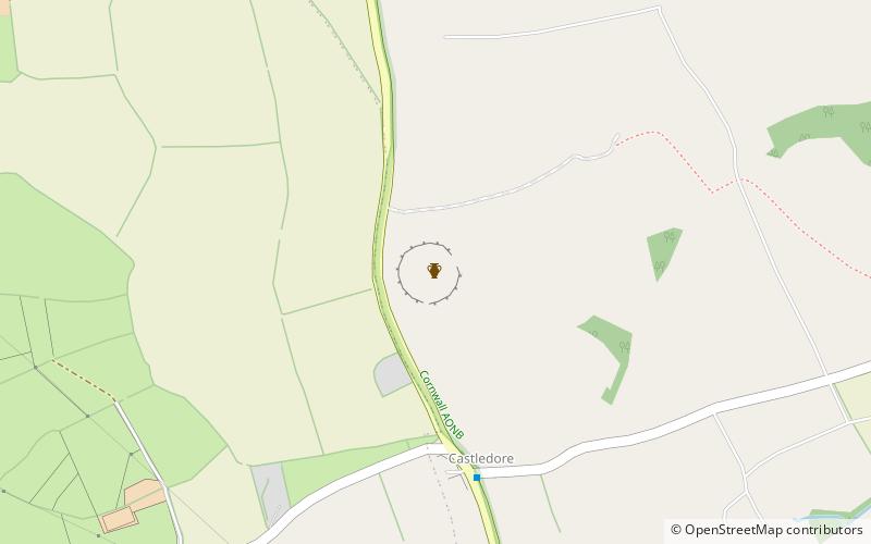
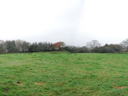
Castle Dore is an Iron Age hill fort near Fowey in Cornwall, United Kingdom located at grid reference SX103548. It was probably occupied from the 5th or 4th centuries BC until the 1st century BC. It consists of two ditches surrounding a circular area 79 metres in diameter. Excavated in the 1930s, it is one of the most intensively investigated Iron Age hillforts in Cornwall. ()
Coordinates: 50°21'46"N, 4°40'4"W
Address
Par
ContactAdd
Social media
Add
Day trips
Castle Dore – popular in the area (distance from the attraction)
Nearby attractions include: Eden Project, St Catherine's Castle, Tregaminion Church, St Sampson's Church.


