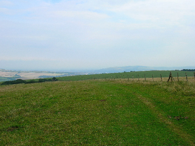
Castle Hill, Sussex Downs AONB

Gallery (2)
Map
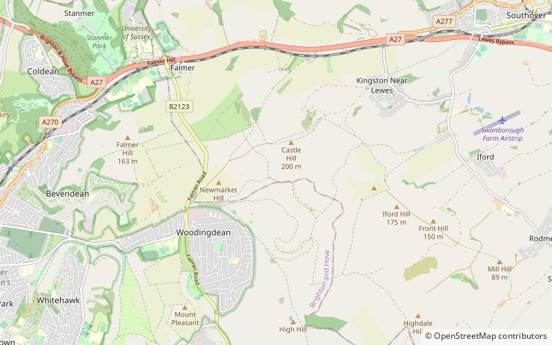
Map
Gallery
Facts and practical information
Castle Hill is a 114.6-hectare biological Site of Special Scientific Interest on the eastern outskirts of Brighton in East Sussex. It is a Special Area of Conservation and Nature Conservation Review site. The northern half is a national nature reserve ()
Coordinates: 50°50'46"N, 0°3'11"W
Address
Sussex Downs AONB
ContactAdd
Social media
Add
Getting there by public transportation
Public transportation stops near this location
- Bus
 Bus
Bus
- Calculate routeBalsdean Road 18 min walk
- Calculate routeHeronsdale Road 20 min walk
- Calculate routeLangley Crescent East End 20 min walk
- Calculate routeSutton Close 22 min walk
Day trips


Frequently Asked Questions (FAQ)
How to get to Castle Hill by public transport?
The nearest stations to Castle Hill:
Bus
Bus
- Balsdean Road • Lines: 22 (18 min walk)
- Heronsdale Road • Lines: 22 (20 min walk)