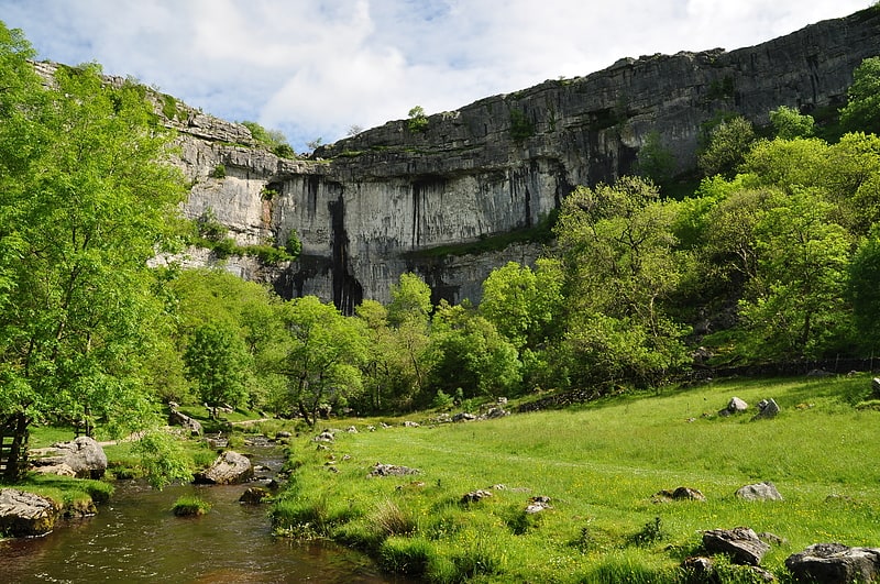
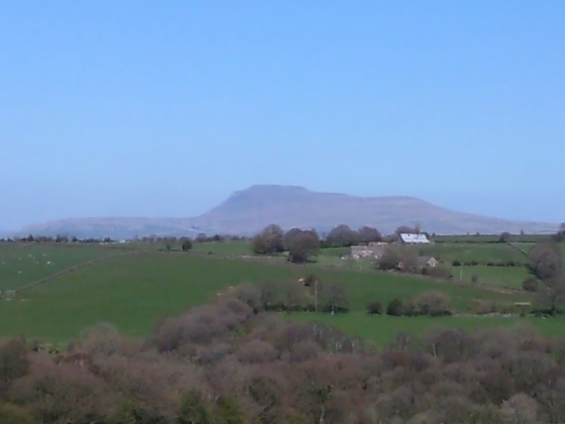
Hoffmann Kiln, Settle

Gallery (1)
Map
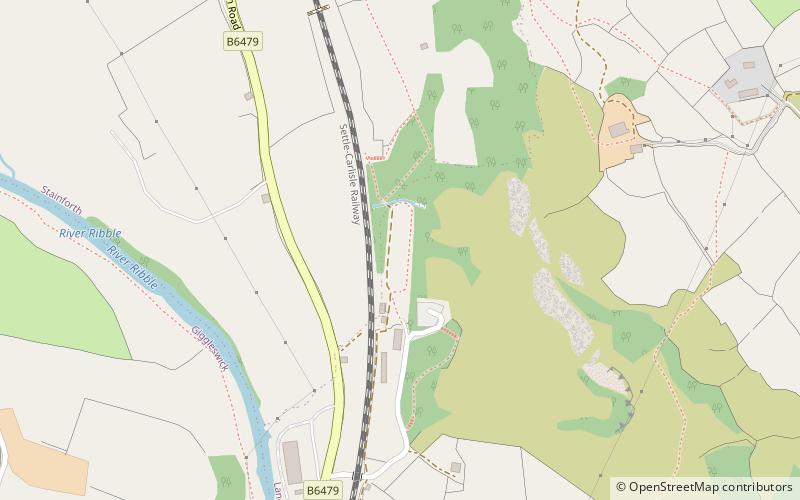
Map
Facts and practical information
Hoffmann Kiln is a place located in Settle (England kingdom) and belongs to the category of ruins.
It is situated at an altitude of 627 feet, and its geographical coordinates are 54°5'33"N latitude and 2°16'16"W longitude.
Among other places and attractions worth visiting in the area are: St Peter's Church (church, 17 min walk), BD postcode area, Yorkshire Dales (neighbourhood, 30 min walk), Settle Area Swimming Pool (watersports, 37 min walk).
Coordinates: 54°5'33"N, 2°16'16"W
Address
Settle
ContactAdd
Social media
Add
Day trips