Fountains Fell Tarn, Yorkshire Dales
Map

Map

Facts and practical information
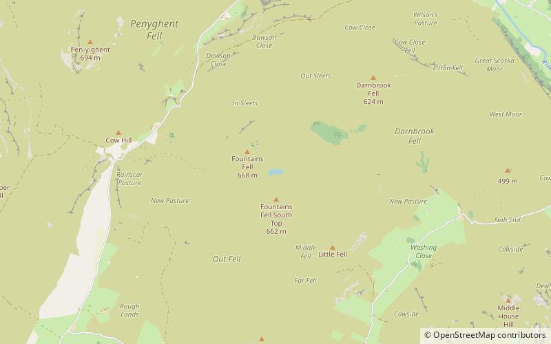
Fountains Fell Tarn, is an upland lake between the two peaks of Fountains Fell, in North Yorkshire, England. The tarn is close to the Pennine Way, some 4.3 miles north west of Malham Tarn, and 4.3 miles east of Horton in Ribblesdale. Water from the tarn flows eastwards through Cowside Beck, which is a tributary of the River Skirfare in Littondale. Whilst the water in the lake is acidic, as it runs off the mountain, it flows over Yoredale beds limestone and so becomes a harder water. ()
Elevation: 2129 ft a.s.l.Coordinates: 54°8'13"N, 2°12'9"W
Address
Yorkshire Dales
ContactAdd
Social media
Add
Day trips
Fountains Fell Tarn – popular in the area (distance from the attraction)
Nearby attractions include: Gordale Scar, Malham Cove, Janet's Foss, Pen-y-ghent.


