Castle Walk Footbridge, Shrewsbury
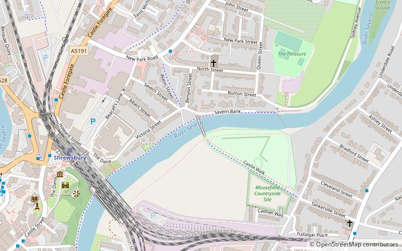
Map

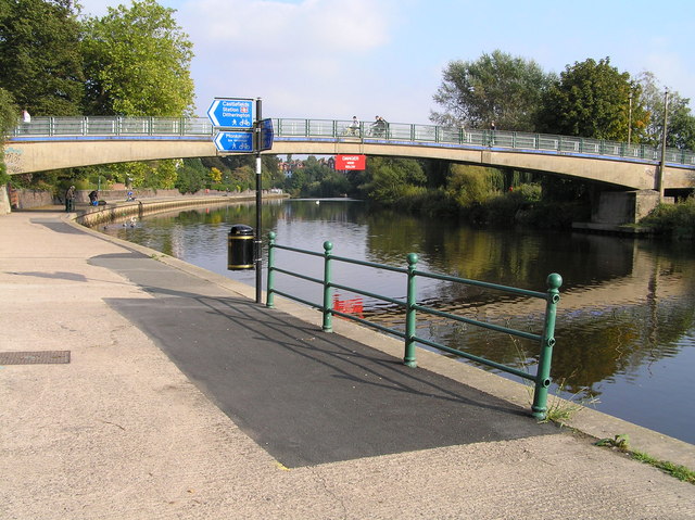
Gallery

Facts and practical information
Castle Walk Footbridge spans the River Severn in Shrewsbury, England, and was the first prestressed concrete bridge in Shropshire. ()
Coordinates: 52°42'45"N, 2°44'38"W
Address
Shrewsbury
ContactAdd
Social media
Add
Day trips
Castle Walk Footbridge – popular in the area (distance from the attraction)
Nearby attractions include: Darwin Shopping Centre, Shrewsbury Museum and Art Gallery, New Riverside, The Quarry Park.
Frequently Asked Questions (FAQ)
Which popular attractions are close to Castle Walk Footbridge?
Nearby attractions include HM Prison Shrewsbury, Shrewsbury (5 min walk), Shrewsbury Library, Shrewsbury (9 min walk), St Mary's Church, Shrewsbury (11 min walk), English Bridge, Shrewsbury (12 min walk).
How to get to Castle Walk Footbridge by public transport?
The nearest stations to Castle Walk Footbridge:
Train
Bus
Train
- Shrewsbury (7 min walk)
Bus
- S • Lines: 409 (10 min walk)
- Shrewsbury Bus Station (10 min walk)


