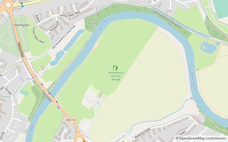
Shrewsbury Driving Range, Shrewsbury


Facts and practical information
Shrewsbury Driving Range (address: Telford Way) is a place located in Shrewsbury (England kingdom) and belongs to the category of golf.
It is situated at an altitude of 164 feet, and its geographical coordinates are 52°43'25"N latitude and 2°43'40"W longitude.
Planning a visit to this place, one can easily and conveniently get there by public transportation. Shrewsbury Driving Range is a short distance from the following public transport stations: Harlescott Park and Ride (bus, 29 min walk), Shrewsbury (train, 31 min walk).
Among other places and attractions worth visiting in the area are: Castle Walk Footbridge (bridge, 26 min walk), HM Prison Shrewsbury (historical place, 30 min walk), Shrewsbury Library (charles darwin, 34 min walk).
Shrewsbury Driving Range – popular in the area (distance from the attraction)
Nearby attractions include: Darwin Shopping Centre, Shrewsbury Museum and Art Gallery, New Riverside, Shrewsbury Castle.
Frequently Asked Questions (FAQ)
How to get to Shrewsbury Driving Range by public transport?
Bus
- Harlescott Park and Ride (29 min walk)
- S • Lines: 409 (35 min walk)
Train
- Shrewsbury (31 min walk)


