Beacon Hill

Gallery (1)
Map
Map
Facts and practical information
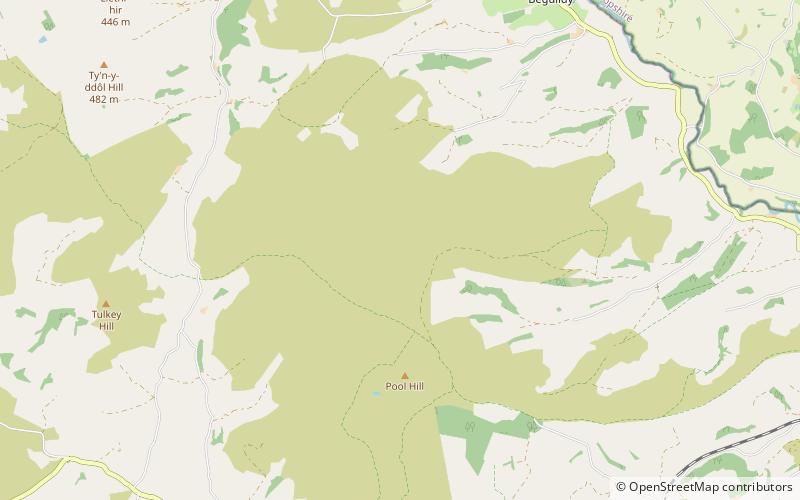
Beacon Hill is a hill in the county of Radnorshire, Wales. It lies within the Powys unitary council area. It is located north-west of the town of Knighton close to the valley of the River Teme. Its summit is 547 metres above sea level, and is the highest point of a region of heather-clad moorland. ()
Elevation: 1795 ftProminence: 571 ftCoordinates: 52°22'59"N, 3°12'41"W
Location
Wales
ContactAdd
Social media
Add
Day trips