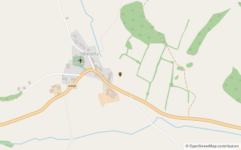
Bleddfa Castle
Map
Facts and practical information
Bleddfa Castle was a motte and bailey structure near Llangunllo in modern-day Powys, Wales. It is believed to have been built before 1195 and abandoned by 1304. What remains today is described as a "mutilated oval mound" of 46 by 36 metres, containing some traces of masonry. It is surrounded by a rectangular bailey measuring 100 by 60 metres, with a hedge on its northern border. ()
Coordinates: 52°18'26"N, 3°9'45"W
Location
Wales
ContactAdd
Social media
Add
Day trips