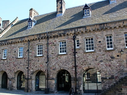
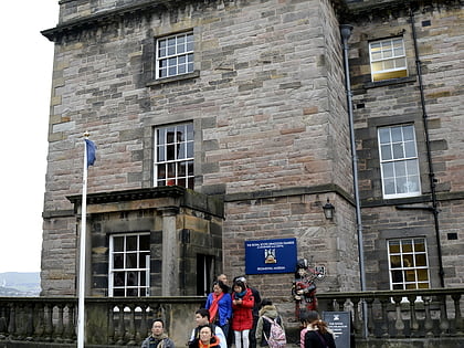
Charlotte Chapel, Edinburgh
Map
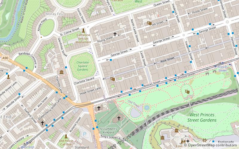
Map

Facts and practical information
The Charlotte Chapel, also known by its previous name, St George's West Church, is a historic church building located in Shandwick Place, Edinburgh, Scotland. It belongs to an Independent Baptist congregation, and was originally a parish church of the Church of Scotland. ()
Coordinates: 55°57'5"N, 3°12'18"W
Day trips
Charlotte Chapel – popular in the area (distance from the attraction)
Nearby attractions include: Princes Street, Edinburgh Castle, George Street, Princes Street Gardens.
Frequently Asked Questions (FAQ)
Which popular attractions are close to Charlotte Chapel?
Nearby attractions include Church of Scotland offices, Edinburgh (2 min walk), Charlotte Square, Edinburgh (3 min walk), Church of St John the Evangelist, Edinburgh (3 min walk), Ross Fountain, Edinburgh (3 min walk).
How to get to Charlotte Chapel by public transport?
The nearest stations to Charlotte Chapel:
Bus
Tram
Train
Bus
- Princes Street • Lines: 1, 10, 104, 11, 113, 12, 124, 16, 19, 22, 25, 26, 3, 31, 4, 41, 43, 44, X5 (4 min walk)
- Lothian Road • Lines: 1, 10, 11, 124, 16, 22, 36, 47, X5 (4 min walk)
Tram
- Princes Street • Lines: Edinburgh Trams Eastbound, Edinburgh Trams Westbound (8 min walk)
- West End • Lines: Edinburgh Trams Eastbound, Edinburgh Trams Westbound (9 min walk)
Train
- Edinburgh Waverley (15 min walk)
- Haymarket (18 min walk)

