Chilworth Ring, Southampton

Facts and practical information
Chilworth Ring is the site of a small univallate Iron Age hillfort located in Hampshire. Partial excavations of the site were carried out in 1928. The site has now been developed into circle of detached houses lying within the ramparts, constructed sometime in the 1960s. The original bank can only be seen in the Eastern quadrant where it is followed by the road. The nearby Castle Hill earthwork to the west is thought to have been a cattle enclosure. The road serving the houses is called The Ring. ()
Southampton
Chilworth Ring – popular in the area (distance from the attraction)
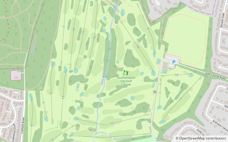
Nearby attractions include: Southampton City Golf Course, John Hansard Gallery, St Michael and All Angels Church, University of Southampton.
Frequently Asked Questions (FAQ)
How to get to Chilworth Ring by public transport?
Bus
- Saxholm Way • Lines: U2C (10 min walk)
- Bassett Wood Road • Lines: U2C (10 min walk)


