Southampton City Golf Course, Southampton
Map
Facts and practical information
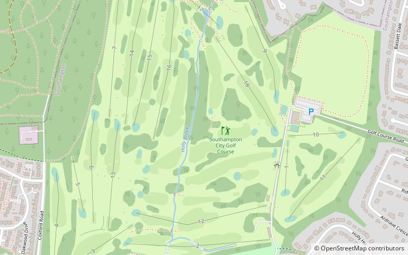
Southampton Municipal Golf Course or 'Muni', is a 27-hole venue set in woodland. The course was designed by five time Open Championship winner J.H. Taylor, and was completed in 1935. It celebrated its 75th anniversary in 2010. The club house is known as Bowlers Restaurant and has views over the course. ()
Coordinates: 50°56'50"N, 1°25'1"W
Address
Southampton Golf Course Golf Course RoadRomsey and Southampton North (Bassett)Southampton SO16 7LE
Contact
+44 23 8076 0546
Social media
Add
Getting there by public transportation
Public transportation stops near this location
- Bus
 Bus
Bus
- Calculate routeBassett Wood Road 14 min walk
- Calculate routeGlenwood Avenue 14 min walk
- Calculate routeSaxholm Way 15 min walk
- Calculate routeChamberlain Halls 20 min walk
Day trips


Frequently Asked Questions (FAQ)
Which popular attractions are close to Southampton City Golf Course?
Nearby attractions include Chilworth Ring, Southampton (9 min walk), St Michael and All Angels Church, Southampton (14 min walk), Hollybrook Cemetery, Southampton (24 min walk).
How to get to Southampton City Golf Course by public transport?
The nearest stations to Southampton City Golf Course:
Bus
Bus
- Bassett Wood Road • Lines: U2C (14 min walk)
- Glenwood Avenue • Lines: U2C (14 min walk)