Irthlingborough Lakes and Meadows, Irthlingborough
Map

Map

Facts and practical information
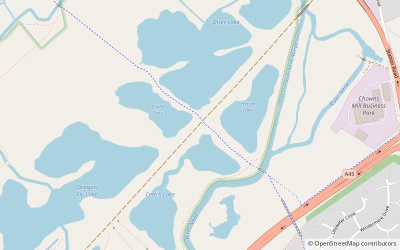
Irthlingborough Lakes and Meadows is a 117-hectare nature reserve in Northamptonshire, owned and managed by the Wildlife Trust for Bedfordshire, Cambridgeshire and Northamptonshire. The character of the reserve is defined by flooded gravel pits and wet grassland, providing an excellent habitat for large variety of wetland flora and fauna. ()
Created: 2012Elevation: 128 ft a.s.l.Coordinates: 52°19'11"N, 0°36'10"W
Day trips
Irthlingborough Lakes and Meadows – popular in the area (distance from the attraction)
Nearby attractions include: Stanwick Lakes, Ditchford Lakes and Meadows, St Mary's Church, Higham Ferrers Pits.


