Stanwick Lakes, Stanwick
Map

Map

Facts and practical information
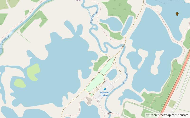
Stanwick Lakes is a country park on the outskirts of the village of Stanwick and was opened in 2006. It is managed by the Rockingham Forest Trust on behalf of East Northamptonshire District Council and comprises 750 acres of former gravel pits. It is part of the larger River Nene Regional Park. ()
Elevation: 108 ft a.s.l.Coordinates: 52°20'7"N, 0°34'54"W
Day trips
Stanwick Lakes – popular in the area (distance from the attraction)
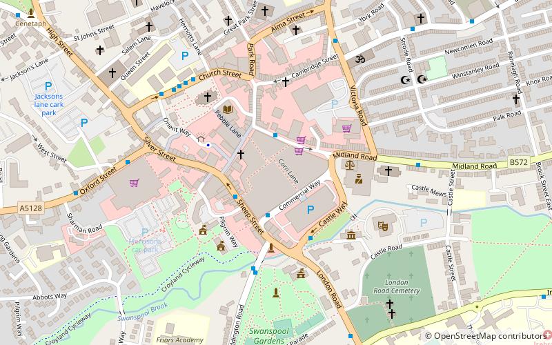
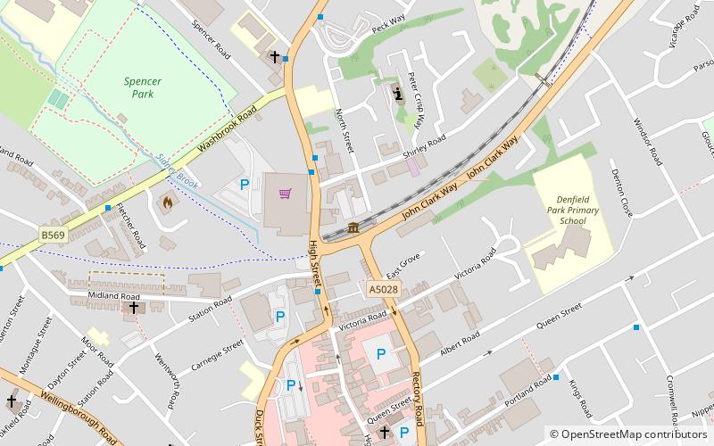
Nearby attractions include: Swansgate Shopping Centre, Church of St Mary the Virgin, Council Buildings, Rushden Transport Museum.


