Alum Pot, Yorkshire Dales National Park
Map
Map

Facts and practical information
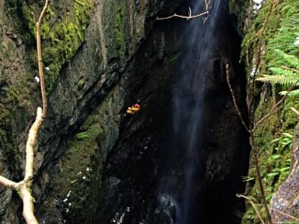
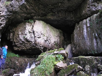
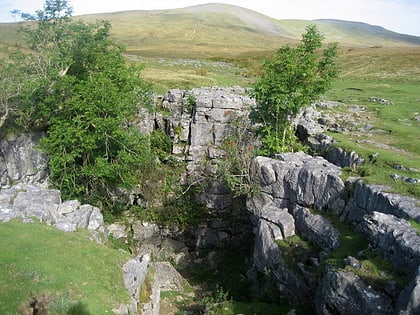
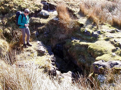
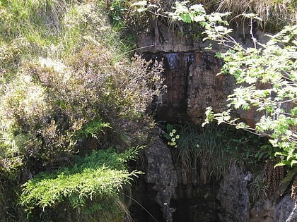
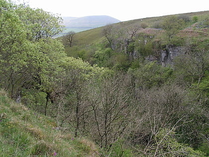
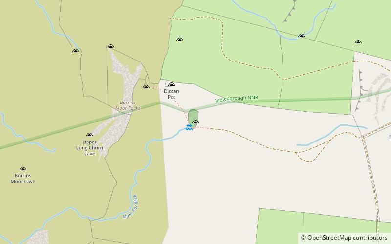
Alum Pot is a pothole with a large open shaft at a surface elevation of 343 metres on the eastern flanks of Simon Fell, North Yorkshire, England. It connects with nearby Long Churn Cave and Diccan Pot. The pot is accessed via a 1-km private track on payment of a small fee from Selside Farm in the hamlet of Selside in Ribblesdale. Alum Pot has variously been known as Allan, Alan, Allen, Hellen and Hell'n. ()
Length: 522 ftDepth: 341 ftCoordinates: 54°10'31"N, 2°20'47"W
Day trips
Alum Pot – popular in the area (distance from the attraction)
Nearby attractions include: Gaping Gill, White Scar Cave, Ingleborough, Great Douk Cave.
