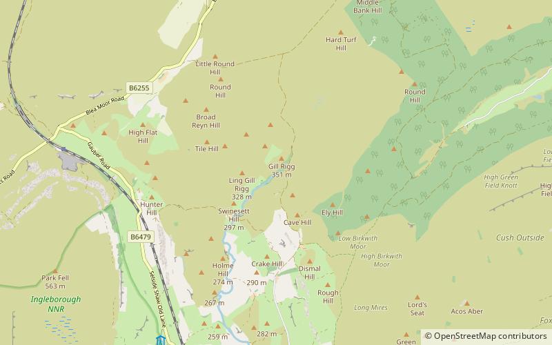
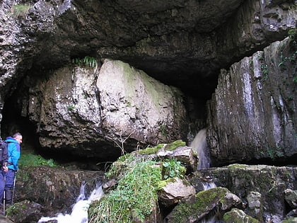
Ling Gill, Yorkshire Dales National Park
#51 among attractions in Yorkshire Dales National Park

Facts and practical information
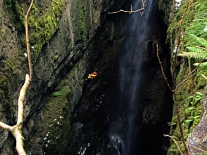
Ling Gill is a gill in the Yorkshire Dales in North Yorkshire, England. Cam Beck, a tributary of the River Ribble, flows through the gill. ()
Yorkshire Dales National Park United Kingdom
Yorkshire Dales National Park plan & book
Unleash the traveler in you — discover the cheapest flight deals, find the perfect hotel or hostel nearby, and search for the best car rental prices. Travel at your own pace to discover new places and enjoy your journey.
Ling Gill – popular in the area (distance from the attraction)
Nearby attractions include: Gaping Gill, Ingleborough, Great Douk Cave, Ribblehead Viaduct.
 Nature, Natural attraction, Cave
Gaping Gill, Yorkshire Dales National Park
121 min walk • Gaping Gill is a natural cave in North Yorkshire, England. It is one of the unmistakable landmarks on the southern slopes of Ingleborough – a 98-metre deep pothole with the stream Fell Beck flowing into it.
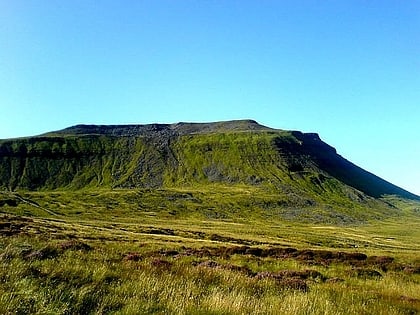
 Flat-topped peak with fortress ruins
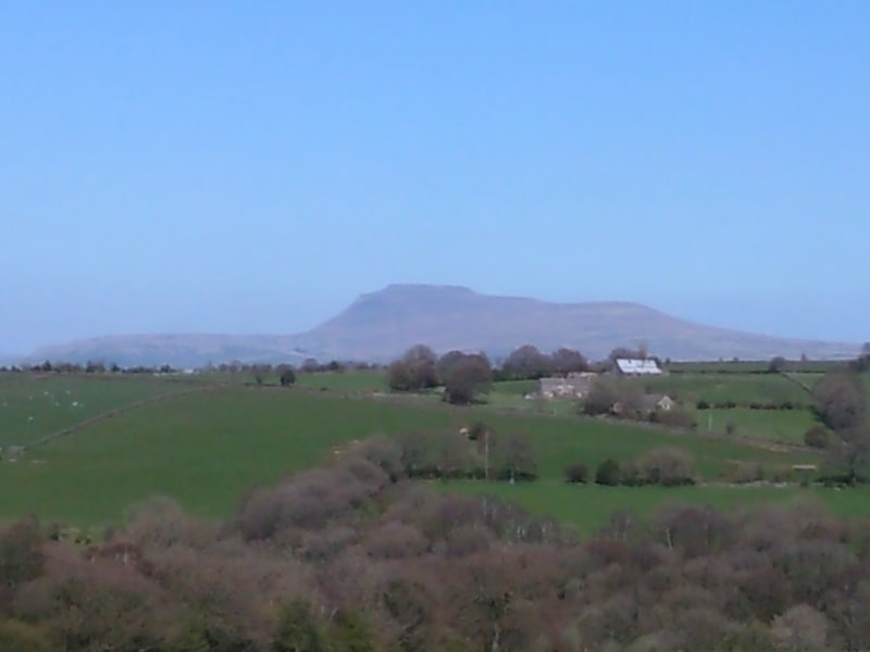
Ingleborough, Settle
113 min walk • Ingleborough is the second-highest mountain in the Yorkshire Dales, England. It is one of the Yorkshire Three Peaks, and is frequently climbed as part of the Three Peaks walk.
 Nature, Natural attraction, Cave
Great Douk Cave, Yorkshire Dales National Park
88 min walk • Great Douk Cave is a shallow cave system lying beneath the limestone bench of Ingleborough in Chapel-le-Dale, North Yorkshire, England.
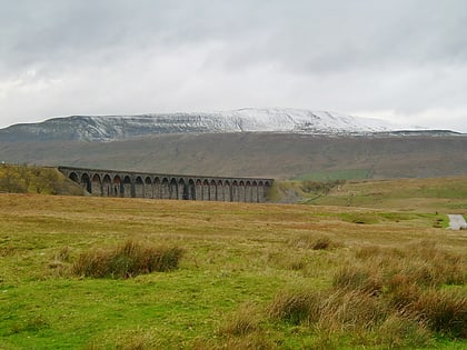
 Bridge
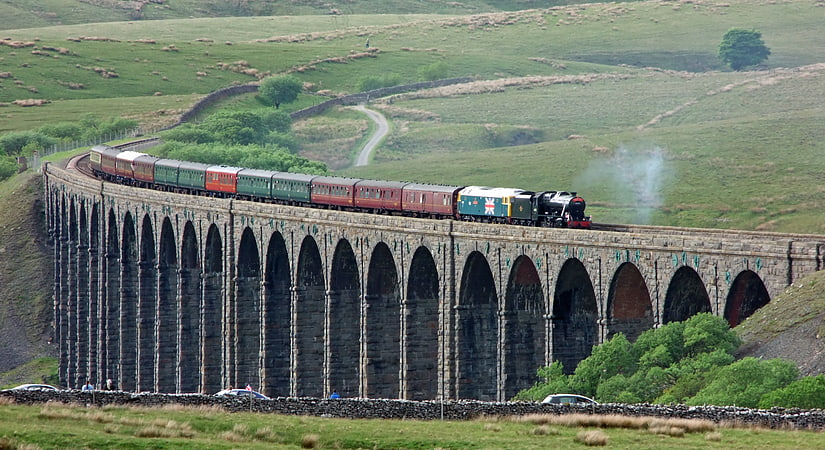
Ribblehead Viaduct, Yorkshire Dales National Park
67 min walk • The Ribblehead Viaduct or Batty Moss Viaduct carries the Settle–Carlisle railway across Batty Moss in the Ribble Valley at Ribblehead, in North Yorkshire, England.
 Natural attraction, Park, Mountain
Pen-y-ghent, Yorkshire Dales
102 min walk • Pen-y-ghent or Penyghent is a fell in the Yorkshire Dales, England. It is the lowest of Yorkshire's Three Peaks at 2,277 feet; the other two being Ingleborough and Whernside. It lies 1.9 miles east of Horton in Ribblesdale.
 Nature, Natural attraction, Mountain
Whernside, Yorkshire Dales National Park
108 min walk • Whernside is a mountain in the Yorkshire Dales in Northern England. It is the highest of the Yorkshire Three Peaks, the other two being Ingleborough and Pen-y-ghent.
 Nature, Natural attraction, Cave
Alum Pot, Yorkshire Dales National Park
62 min walk • Alum Pot is a pothole with a large open shaft at a surface elevation of 343 metres on the eastern flanks of Simon Fell, North Yorkshire, England. It connects with nearby Long Churn Cave and Diccan Pot. The pot is accessed via a 1-km private track on payment of a small fee from Selside Farm in the hamlet of Selside in Ribblesdale.
 Nature, Natural attraction, Cave
Juniper Gulf, Yorkshire Dales National Park
99 min walk • Juniper Gulf is a pit cave in on the side of Ingleborough in Yorkshire, England. It is a popular single rope technique trip for cavers, especially known for its final 50-metre pitch.
 Nature, Natural attraction, Mountain
Plover Hill, Yorkshire Dales National Park
94 min walk • Plover Hill is an area of moorland lying to the north of Pen-y-ghent in the Yorkshire Dales and connected to it by an unbroken area of high ground.
 Nature, Natural attraction, Mountain
Yorkshire Three Peaks, Yorkshire Dales National Park
109 min walk • The mountains of Whernside, Ingleborough and Pen-y-ghent are collectively known as the Three Peaks.
 Nature, Natural attraction, Cave
Weathercote Cave, Yorkshire Dales National Park
96 min walk • Weathercote Cave is a natural solutional cave in Chapel-le-Dale, North Yorkshire, England. It has been renowned as a natural curiosity since the eighteenth century, and was accessible to paying visitors until 1971.