City Bridge, Newport
Map
Map

Facts and practical information
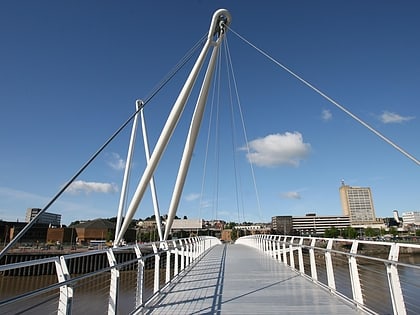
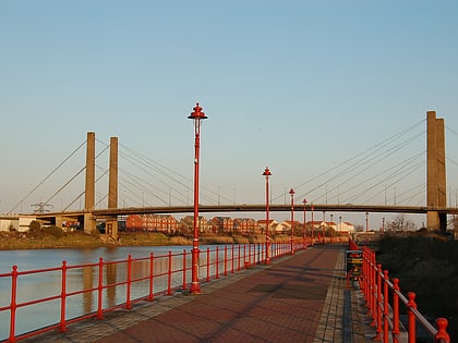
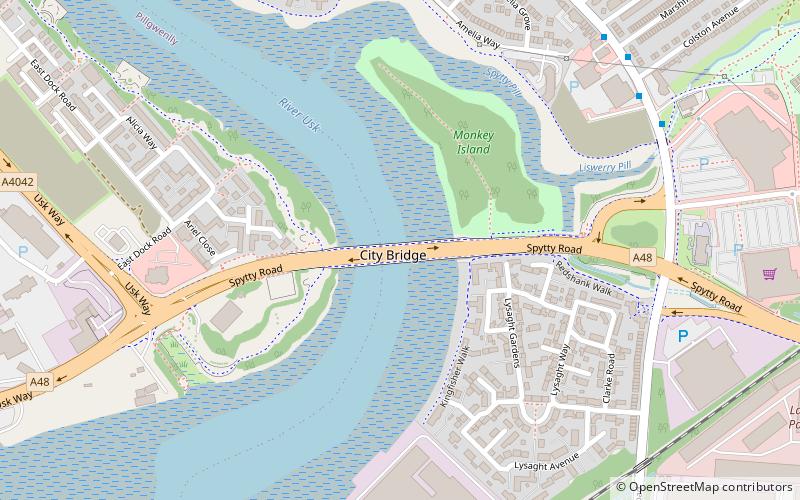
City Bridge is a crossing of the River Usk in the city of Newport, South Wales. It was opened in 2004 as part of the construction/re-generation of the Southern Distributor Road/A48 in Newport. ()
Opened: 17 November 2004 (21 years ago)Length: 650 ftCoordinates: 51°34'37"N, 2°58'27"W
Day trips
City Bridge – popular in the area (distance from the attraction)
Nearby attractions include: Friars Walk, Rodney Parade, Kingsway Shopping Centre, Newport Transporter Bridge.
Frequently Asked Questions (FAQ)
Which popular attractions are close to City Bridge?
Nearby attractions include George Street Bridge, Newport (17 min walk), Newport Transporter Bridge, Newport (18 min walk), Pillgwenlly, Newport (20 min walk).
How to get to City Bridge by public transport?
The nearest stations to City Bridge:
Bus
Train
Bus
- Newport Bus Depot (20 min walk)
- Newport Bus Station (30 min walk)
Train
- Newport (36 min walk)


