Cannock Extension Canal
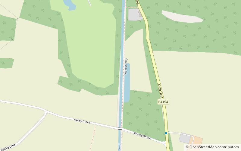
Map

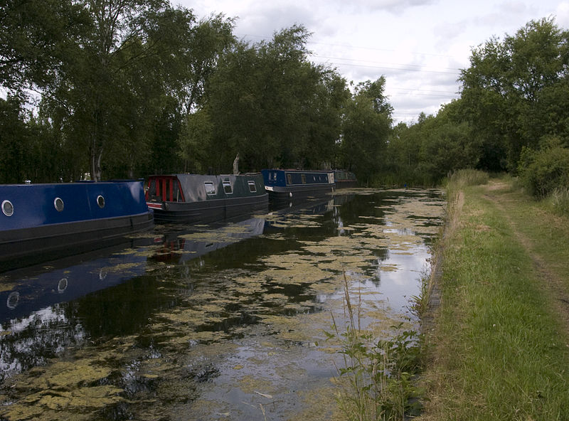
Gallery

Facts and practical information
The current Cannock Extension Canal is a 1.8-mile canal in England. It runs from Pelsall Junction on the Wyrley and Essington Canal, north to Norton Canes Docks and forms part of the Birmingham Canal Navigations. Historically, it ran to Hednesford, and served a number of collieries, which provided the main traffic. It opened in 1863, and the northern section closed in 1963, as a result of mining subsidence. ()
Coordinates: 52°38'55"N, 1°58'20"W
Location
England
ContactAdd
Social media
Add
Day trips
Cannock Extension Canal – popular in the area (distance from the attraction)
Nearby attractions include: Forest of Mercia, Pelsall Junction, Chasewater, Chasewater Watersports Centre.


