Forest of Mercia
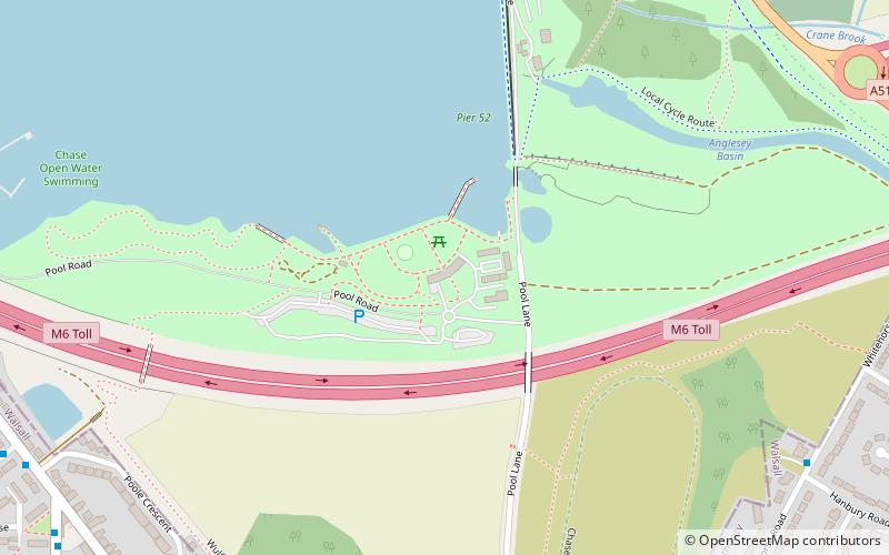
Map

Map

Facts and practical information
The Forest of Mercia lies within the northernmost boundary of the more ancient and well-known Forest of Arden which covered the area when it formed part of the Kingdom of Mercia, and is one of twelve community forests established close to major towns and cities across England. It covers an area of 92 square miles, and is focused around the town of Cannock in South Staffordshire. ()
Coordinates: 52°39'42"N, 1°56'34"W
Location
England
ContactAdd
Social media
Add
Day trips
Forest of Mercia – popular in the area (distance from the attraction)
Nearby attractions include: Watling Street, Ogley Junction, Cannock Extension Canal, Chasewater.


