Stream Passage Pot, Yorkshire Dales National Park
Map
Map

Facts and practical information
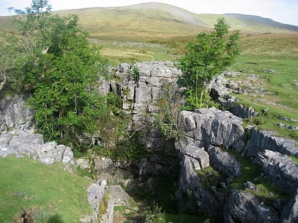
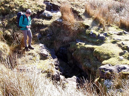
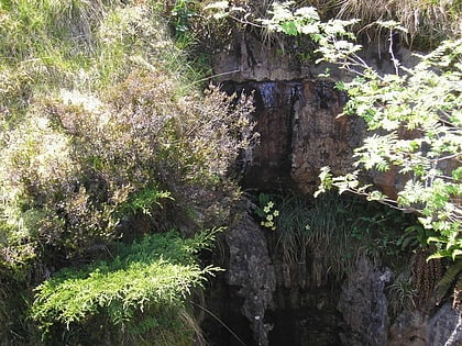
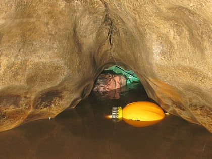
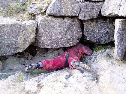
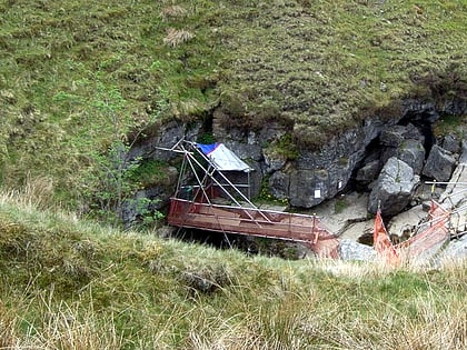
Stream Passage Pot is one of the entrances to the Gaping Gill system being located about 320 metres ESE of Gaping Gill Main Shaft. It is a popular and sporting entrance into the system, featuring three well-watered big shafts. It is the highest entrance of the Gaping Gill system, so the full depth of the system, 198 metres, is measured from its entrance. It lies within the designated Ingleborough Site of Special Scientific Interest. ()
Discovered: 1949Length: 1900 ftDepth: 495 ftCoordinates: 54°8'52"N, 2°23'12"W
Address
Yorkshire Dales National Park
ContactAdd
Social media
Add
Day trips
Stream Passage Pot – popular in the area (distance from the attraction)
Nearby attractions include: Gaping Gill, Ingleborough Cave, Bar Pot, Flood Entrance Pot.
Frequently Asked Questions (FAQ)
Which popular attractions are close to Stream Passage Pot?
Nearby attractions include Disappointment Pot, Yorkshire Dales National Park (4 min walk), Gaping Gill, Yorkshire Dales National Park (5 min walk), Flood Entrance Pot, Yorkshire Dales National Park (6 min walk), Jib Tunnel, Yorkshire Dales National Park (6 min walk).


