Clopton Bridge, Stratford-upon-Avon
Map
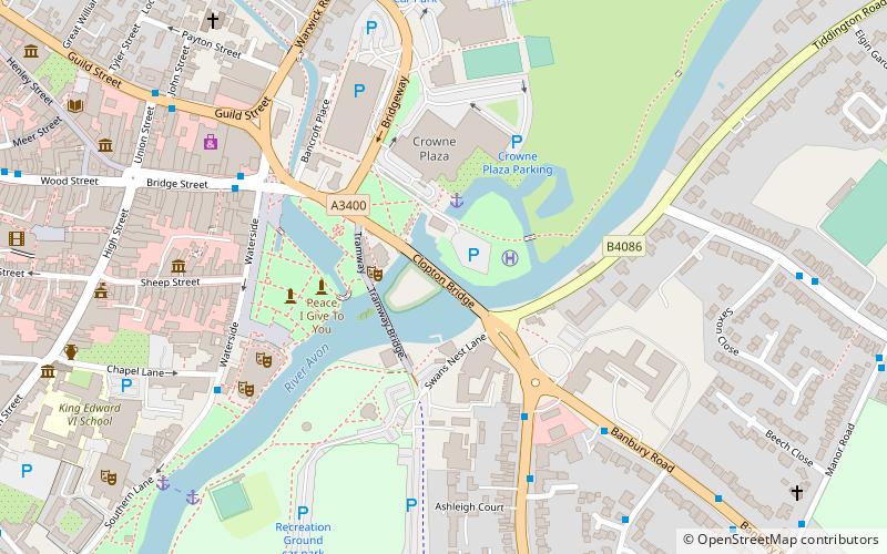
Map

Facts and practical information
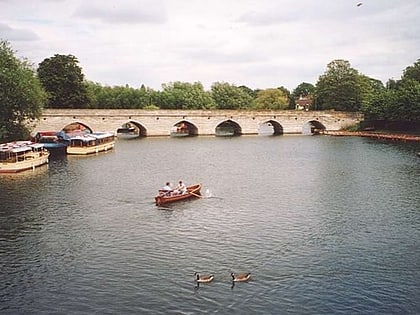
The Clopton Bridge is a grade I listed masonry arch bridge with 14 pointed arches, located in Stratford-upon-Avon, England, which spans the River Avon, crossing at the place where the river was forded in Saxon times, and which gave the town its name. The bridge carries the A3400 road over the river. ()
Coordinates: 52°11'30"N, 1°42'1"W
Address
Stratford-upon-Avon
ContactAdd
Social media
Add
Day trips
Clopton Bridge – popular in the area (distance from the attraction)
Nearby attractions include: Shakespeare's Birthplace, Stratford-upon-Avon Town Hall, Holy Trinity Church, Stratford-upon-Avon Cricket Club Ground.
Frequently Asked Questions (FAQ)
Which popular attractions are close to Clopton Bridge?
Nearby attractions include Avon Ring, Stratford-upon-Avon (4 min walk), Stratford Butterfly Farm, Stratford-upon-Avon (4 min walk), Royal Shakespeare Theatre, Stratford-upon-Avon (5 min walk), Swan Theatre, Stratford-upon-Avon (5 min walk).
How to get to Clopton Bridge by public transport?
The nearest stations to Clopton Bridge:
Train
Train
- Stratford-upon-Avon (18 min walk)
