Cluan Place, Belfast
Map

Map

Facts and practical information
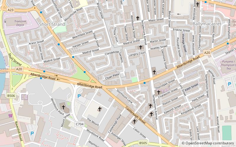
Cluan Place is a Protestant working-class area in eastern inner-city Belfast, in Northern Ireland. ()
Coordinates: 54°35'45"N, 5°54'14"W
Address
BallymacarrettBelfast
ContactAdd
Social media
Add
Day trips
Cluan Place – popular in the area (distance from the attraction)
Nearby attractions include: Victoria Square, Titanic Belfast, St George's Market, The SSE Arena.
Frequently Asked Questions (FAQ)
Which popular attractions are close to Cluan Place?
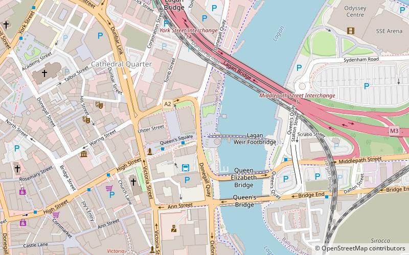
Nearby attractions include Short Strand, Belfast (7 min walk), Albert Bridge, Belfast (10 min walk), Connswater Community Greenway, Belfast (13 min walk), Lagan Railway Bridge, Belfast (15 min walk).
How to get to Cluan Place by public transport?
The nearest stations to Cluan Place:
Bus
Train
Bus
- Translink Depot (9 min walk)
- Laganside Bus Centre (21 min walk)
Train
- Titanic Quarter (12 min walk)
- Belfast Lanyon Place (14 min walk)


