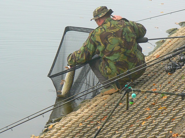
Coate Water, Swindon
Map

Gallery

Facts and practical information
Coate Water is a country park situated 5 km to the southeast of central Swindon, England, near junction 15 of the M4. It takes its name from its main feature, a reservoir originally built to provide water for the Wilts & Berks Canal. ()
Elevation: 374 ft a.s.l.Coordinates: 51°32'35"N, 1°44'46"W
Address
Malborough RoadSwindon SN3 6AA
Contact
+44 1793 490150
Social media
Add
Day trips
Coate Water – popular in the area (distance from the attraction)
Nearby attractions include: Christ Church, Richard Jefferies Museum, Day House Lane Stone Circle, The Crumpled Horn.
Frequently Asked Questions (FAQ)
Which popular attractions are close to Coate Water?
Nearby attractions include Richard Jefferies Museum, Swindon (5 min walk), Day House Lane Stone Circle, Swindon (10 min walk).
How to get to Coate Water by public transport?
The nearest stations to Coate Water:
Bus
Bus
- Aspect Park • Lines: 15, 71 (28 min walk)
- Evelyn Street • Lines: 15, 71 (29 min walk)


