Christ Church, Swindon
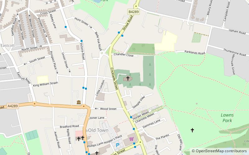
Map

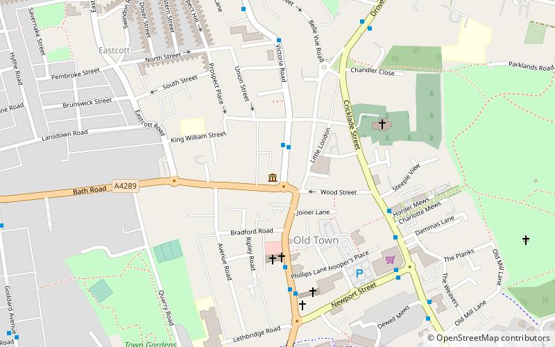
Map

Facts and practical information
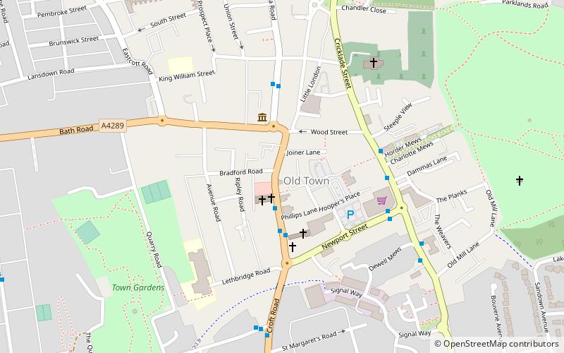
Christ Church is a grade II* listed church in Cricklade Street, Swindon, Wiltshire, England. It was built in 1851 to a design by George Gilbert Scott. ()
Coordinates: 51°33'14"N, 1°46'28"W
Day trips
Christ Church – popular in the area (distance from the attraction)
Nearby attractions include: Swindon Designer Outlet, Museum of the Great Western Railway, County Ground, Coate Water.
Frequently Asked Questions (FAQ)
Which popular attractions are close to Christ Church?
Nearby attractions include Swindon Art Gallery, Swindon (4 min walk), Swindon Museum, Swindon (4 min walk), Swindon Arts Centre, Swindon (5 min walk), Queens Park, Swindon (6 min walk).
How to get to Christ Church by public transport?
The nearest stations to Christ Church:
Bus
Train
Bus
- Prospect • Lines: 15, 72 (4 min walk)
- Cirencester Road • Lines: 71 (4 min walk)
Train
- Swindon (25 min walk)


