Doune of Relugas

Map
Facts and practical information
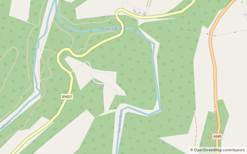
The Doune of Relugas is a hill fort located 9.25 kilometres south south west of Forres in Moray, Scotland. It is situated on a rocky knoll rising to approximately 400 feet above ordnance datum and forming the south east part of the promontory at the confluence of the River Findhorn and the River Divie. The site commands an uninterrupted view of the valley of the Findhorn as far as Culbin Sands, 9 miles to the north on the shore of the Moray Firth. ()
Length: 174 ftWidth: 108 ftHeight: 400 ftCoordinates: 57°31'31"N, 3°39'56"W
Location
Scotland
ContactAdd
Social media
Add
Day trips
Doune of Relugas – popular in the area (distance from the attraction)
Nearby attractions include: Brodie Castle, Logie Steading, Darnaway Castle, Rodney's Stone.


