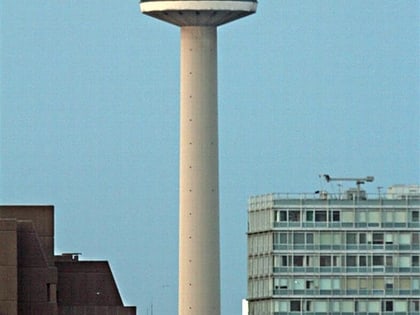
College of Technology and Museum Extension, Liverpool
Map
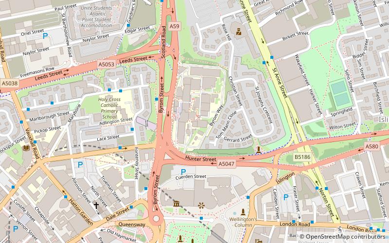
Map

Facts and practical information
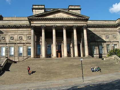
The College of Technology and Museum Extension in Byrom Street, Liverpool, England, was built between 1896 and 1901, the architect was Edward William Mountford. The building was constructed to provide a new College of Technology and an extension to the museum. The college occupied the lower levels and the museum the upper levels. Bomb damage led to some reconstruction work in the 1960s. The building is Grade II* listed. ()
Coordinates: 53°24'43"N, 2°58'52"W
Address
EvertonLiverpool
ContactAdd
Social media
Add
Day trips
College of Technology and Museum Extension – popular in the area (distance from the attraction)
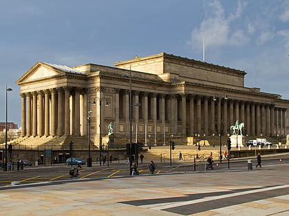
Nearby attractions include: World Museum, St George's Hall, Walker Art Gallery, Metquarter.
Frequently Asked Questions (FAQ)
Which popular attractions are close to College of Technology and Museum Extension?
Nearby attractions include Dale Street, Liverpool (4 min walk), John Moores Prize Exhibition, Liverpool (4 min walk), Picton Reading Room and Hornby Library, Liverpool (4 min walk), William Brown Street, Liverpool (4 min walk).
How to get to College of Technology and Museum Extension by public transport?
The nearest stations to College of Technology and Museum Extension:
Bus
Train
Bus
- Lime St Rail Station • Lines: 18 (7 min walk)
- Queen Square Bus Station • Lines: 18, 79C (8 min walk)
Train
- Liverpool Lime Street (9 min walk)
- Moorfields (11 min walk)

