St. Patrick's Church

Gallery (1)
Map
Map
Facts and practical information
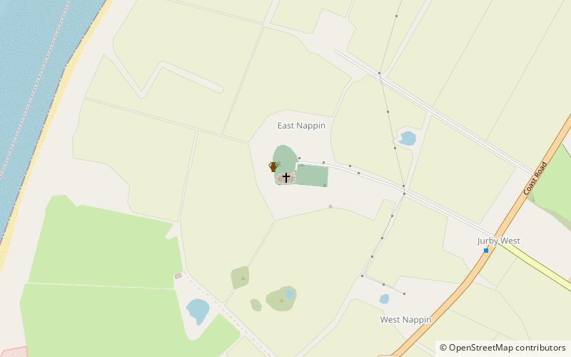
St Patrick's Church is a parish church of the Church of England in Jurby parish, near the northwest coast of the Isle of Man. Scotland and Ireland can be seen across the Irish Sea on a moderately clear day. The church also has views down the west coast to Peel, across the northern plain of the island, and to the central hills. ()
Coordinates: 54°21'18"N, 4°32'28"W
Location
Michael
ContactAdd
Social media
Add
Day trips


