North Barrule
#6359 among destinations in the United Kingdom

Facts and practical information
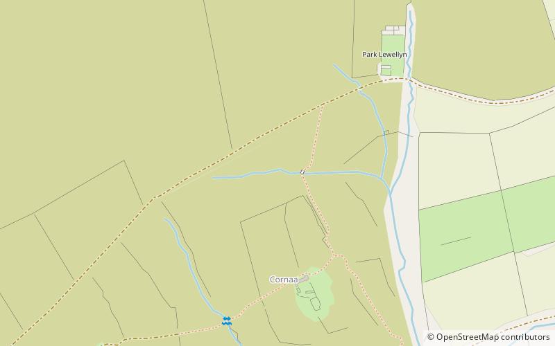
North Barrule is the second highest peak in the Isle of Man at 565 metres. From the summit the northern plain of the Isle of Man can be viewed along with the coastlines of Ireland, Cumbria, Wales and Scotland. ()
GarffUnited Kingdom
North Barrule – popular in the area (distance from the attraction)
Nearby attractions include: Jurby Transport Museum, Snaefell, Laxey Woollen Mills, Laxey Wheel.
 Specialty museum, Museum
Jurby Transport Museum
187 min walk • Nestled in the heart of the Isle of Man, the Jurby Transport Museum is a vibrant celebration of the island's rich transport heritage. This museum, located in the northwestern part of the island, provides visitors with an intimate glimpse into the evolution of transport...
 Mountain with a cable car to the top
Snaefell, Laxey
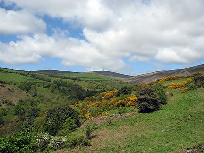
68 min walk • Snaefell – is the highest mountain and the only summit higher than 2,000 feet on the Isle of Man, at 2,037 feet above sea level. The summit is crowned by a railway station, cafe and several communications masts.

 Historical place
Laxey Wheel, Laxey
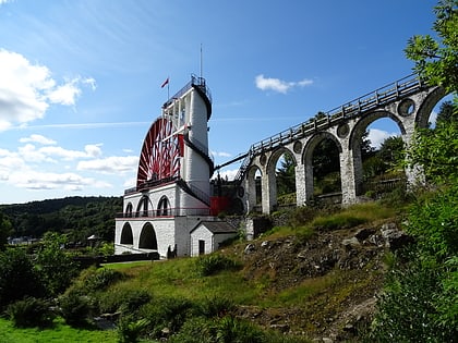
73 min walk • The Laxey Wheel is built into the hillside above the village of Laxey in the Isle of Man. It is the largest working waterwheel in the world.
 Memorial
Albert Tower, Ramsey
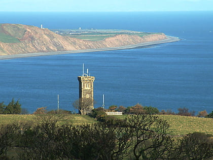
63 min walk • The Albert Tower on the Isle of Man is a historic monument which is one of Isle of Man's Registered Buildings. It was registered on 27 January 2003 as number 214. The 45 feet high slate and granite tower was built in 1848 to commemorate the visit of Albert, Prince Consort to the spot in the previous year.
 Church
St. Patrick's Church
194 min walk • St Patrick's Church is a parish church of the Church of England in Jurby parish, near the northwest coast of the Isle of Man. Scotland and Ireland can be seen across the Irish Sea on a moderately clear day. The church also has views down the west coast to Peel, across the northern plain of the island, and to the central hills.
 Nature and wildlife, Park, Zoo
Curraghs Wildlife Park, Ramsey
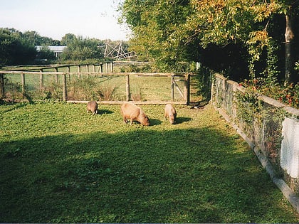
130 min walk • Curraghs Wildlife Park is a wildlife park in The Curraghs, an area of wetland in the north-west of the Isle of Man. The park is owned by the Isle of Man Government and is administered by the Department of Environment, Food & Agriculture.
 Bridge, Racetrack
Ballaugh
152 min walk • Ballaugh Bridge is located on the primary A3 Castletown to Ramsey road and adjacent to the road junctions with the A10 Ballaugh to Ramsey coast road and the tertiary C37 Ballaugh Glen Road in the parish of Ballaugh in the Isle of Man.
 Vernacular architecture, Lighthouse
Maughold Head Lighthouse
101 min walk • Maughold Head Lighthouse is an active 20th century lighthouse, located on the headland of the same name at the southern end of Ramsey Bay on the eastern coast of the Isle of Man. Completed in 1914, it was designed by David A and Charles Stevenson.
 Nature, Natural attraction, Mountain
Beinn-y-Phott
107 min walk • Beinn-y-Phott, is a peak of 546 metres on the Isle of Man, about 2 km SW of Snaefell. It is at the southern end of the parish of Kirk Lezayre. It is skirted by the Mountain Course used for the TT races and is near Brandywell.
 Nature, Natural attraction, Lake
Sulby Reservoir
101 min walk • The Sulby Reservoir is the largest reservoir or lake in the Isle of Man, with an area of 154 acres.
