Moel y Gest, Tremadog

Gallery (1)
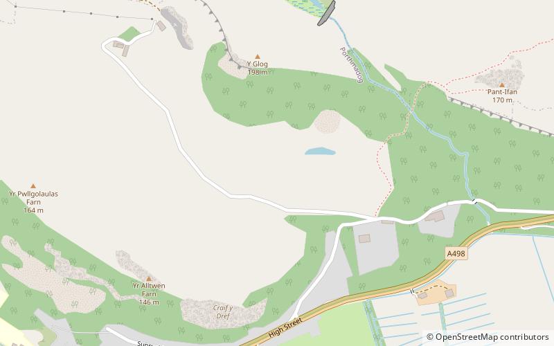
Map
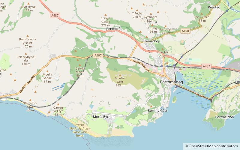
Map
Facts and practical information
Moel y Gest is a 263 m hill to the west of Porthmadog in North Wales. It is a very rocky hill with high topographic prominence because of the lower land that surrounds it on all sides, and qualifies as a Marilyn. The views from the top are far ranging and include the Llŷn Peninsula, the Rhinogydd, Moelwynion, Moel Hebog, and Snowdon. ()
Elevation: 863 ftProminence: 774 ftCoordinates: 52°55'40"N, 4°9'33"W
Address
Tremadog
ContactAdd
Social media
Add
Day trips