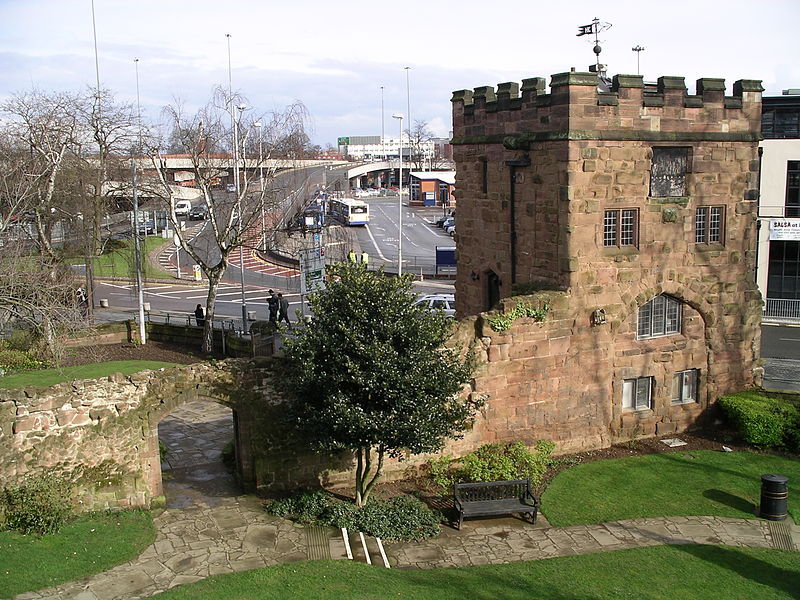
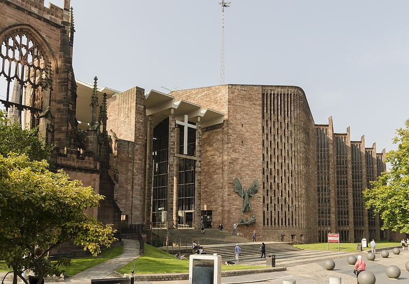
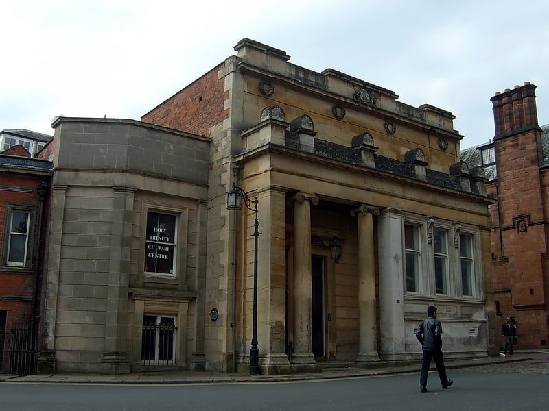
Coventry city walls, Coventry

Gallery (3)
Map
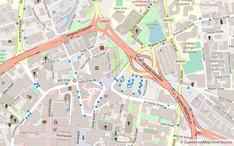
Map
Gallery
Facts and practical information
Coventry's city walls are a sequence of defensive structures built around the city of Coventry in England. ()
Coordinates: 52°24'39"N, 1°30'29"W
Address
North West Coventry (St. Michael's)Coventry
ContactAdd
Social media
Add
Getting there by public transportation
Public transportation stops near this location
- Bus
- Train
 Bus
Bus
- Calculate routeHs3 1 min walk
- Calculate routeS 1 min walk
- Calculate routeHs4 1 min walk
- Calculate routeR 1 min walk
- Calculate routeCoventry 19 min walk
Day trips


Frequently Asked Questions (FAQ)
Which popular attractions are close to Coventry city walls?
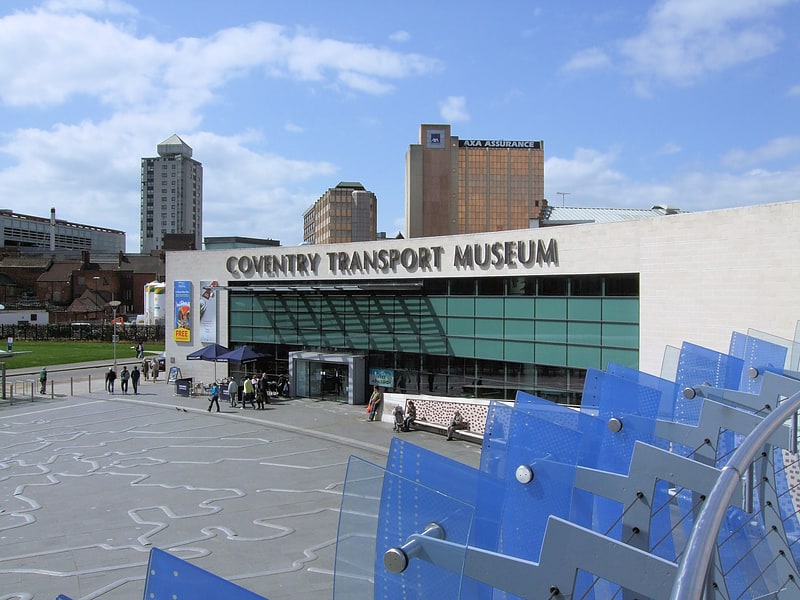
Nearby attractions include Lady Herbert's Garden, Coventry (1 min walk), Priory Maze 2000 plaque, Coventry (2 min walk), Coventry Transport Museum, Coventry (2 min walk), Cook Street Gate, Coventry (2 min walk).
How to get to Coventry city walls by public transport?
The nearest stations to Coventry city walls:
Bus
Train
Bus
- Hs3 • Lines: 21, 21A (1 min walk)
- S • Lines: 17, 17A (1 min walk)
Train
- Coventry (19 min walk)