Gosford Street, Coventry
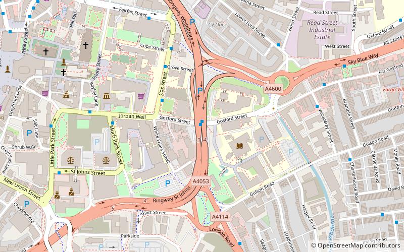
Map
Map

Facts and practical information
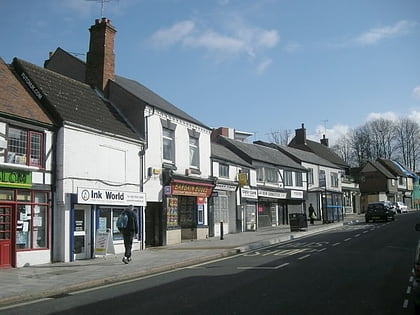
Gosford Street is one of Coventry's most historic streets, located on the edge of the city centre, just beyond the inner ring road. Far Gosford Street is one of the few streets in Coventry that survived modernization, dilapidation and the Blitz. It has 'Gosford Gate' roundabout to its west, Sky Blue Way relief road to its north, Gosford Green to its east and residential terraced street to its south, since the early 20th century. ()
Coordinates: 52°24'24"N, 1°30'8"W
Address
North West Coventry (St. Michael's)Coventry
ContactAdd
Social media
Add
Day trips
Gosford Street – popular in the area (distance from the attraction)
Nearby attractions include: Coventry Cathedral, Butts Park Arena, Herbert Art Gallery and Museum, St Michael's Victory over the Devil.
Frequently Asked Questions (FAQ)
Which popular attractions are close to Gosford Street?
Nearby attractions include Coventry University, Coventry (2 min walk), Whitefriars, Coventry (3 min walk), Tiny Tims Purple Planet, Coventry (3 min walk), Mediaeval Stone Building, Coventry (4 min walk).
How to get to Gosford Street by public transport?
The nearest stations to Gosford Street:
Bus
Train
Bus
- Cu2 • Lines: 13, 13A, 3, 7, 7A, 8, 85, 85A, 85B, 86, 9 (1 min walk)
- Cu1 • Lines: 13, 13A, 3, 7, 7A, 8, 85, 85A, 85B, 86, 9 (1 min walk)
Train
- Coventry (16 min walk)
