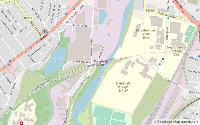
Daisyfield Viaduct, Bury

Gallery (1)
Map
Map
Facts and practical information
Daisyfield Viaduct is a stone structure crossing the Manchester, Bolton and Bury Canal and River Irwell in Bury, Greater Manchester, England. It no longer carries trains, and is now used as a recreational feature for the general public. ()
Coordinates: 53°35'22"N, 2°18'37"W
Address
Bury
ContactAdd
Social media
Add
Getting there by public transportation
Public transportation stops near this location
- Bus
- Tram
- Train
 Bus
Bus
- Calculate routeBury, Bolton Street 13 min walk
- Calculate routeBury Interchange STAND P 14 min walk
- Calculate routeBury Interchange STAND R 14 min walk
- Calculate routeBury Interchange STAND S 15 min walk
- Calculate routeBury Interchange STAND K 15 min walk
- Calculate routeBury 14 min walk
Day trips


Frequently Asked Questions (FAQ)
Which popular attractions are close to Daisyfield Viaduct?
Nearby attractions include Bury Town Hall, Bury (11 min walk), Lancashire Fusiliers War Memorial, Bury (14 min walk), The Fusilier Museum, Bury (14 min walk), Bury Transport Museum, Bury (14 min walk).
How to get to Daisyfield Viaduct by public transport?
The nearest stations to Daisyfield Viaduct:
Train
Bus
Tram
Train
- Bury, Bolton Street (13 min walk)
Bus
- Bury Interchange STAND P • Lines: 461, 487, 494, 98 (14 min walk)
- Bury Interchange STAND R • Lines: 479 (14 min walk)
Tram
- Bury • Lines: Altr, Bury, Picc (14 min walk)