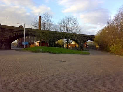
The Met, Bury
Map
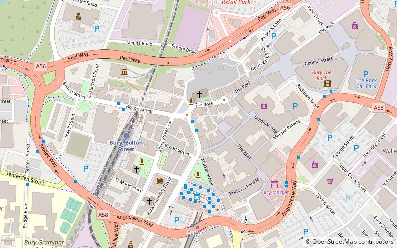
Map

Facts and practical information
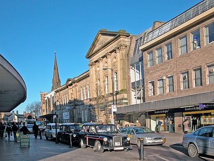
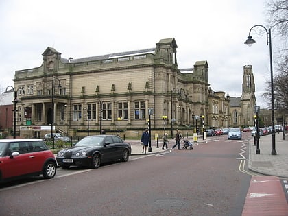
The Met is a performing arts venue in Bury, Greater Manchester, England. It consists of two theatre spaces, as well as the Edwin Street recording studio. There is also a café bar that provides refreshments. ()
Opened: 1980 (46 years ago)Coordinates: 53°35'36"N, 2°17'50"W
Day trips
The Met – popular in the area (distance from the attraction)
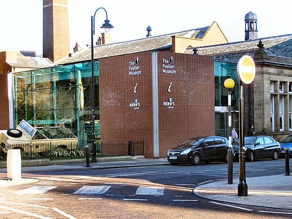
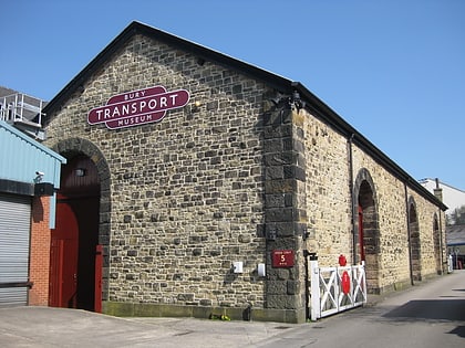
Nearby attractions include: Gigg Lane, Clarence Park, Bury Market, The Fusilier Museum.
Frequently Asked Questions (FAQ)
When is The Met open?
The Met is open:
- Monday closed
- Tuesday 12 pm - 7 pm
- Wednesday 12 pm - 7 pm
- Thursday 12 pm - 7 pm
- Friday 12 pm - 7 pm
- Saturday 11 am - 5 pm
- Sunday closed
Which popular attractions are close to The Met?
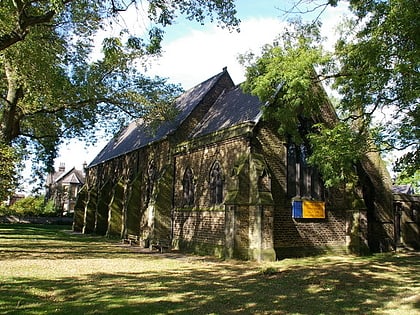
Nearby attractions include Bury Castle, Bury (1 min walk), Peel Memorial, Bury (2 min walk), Bury Parish Church, Bury (2 min walk), The Fusilier Museum, Bury (3 min walk).
How to get to The Met by public transport?
The nearest stations to The Met:
Bus
Train
Tram
Bus
- Bury Interchange STAND A • Lines: 135 (3 min walk)
- Bury Interchange STAND C • Lines: 486 (4 min walk)
Train
- Bury, Bolton Street (4 min walk)
Tram
- Bury • Lines: Altr, Bury, Picc (5 min walk)
