Devon Way, Dollar

Gallery (3)
Map
Map
Gallery
Facts and practical information
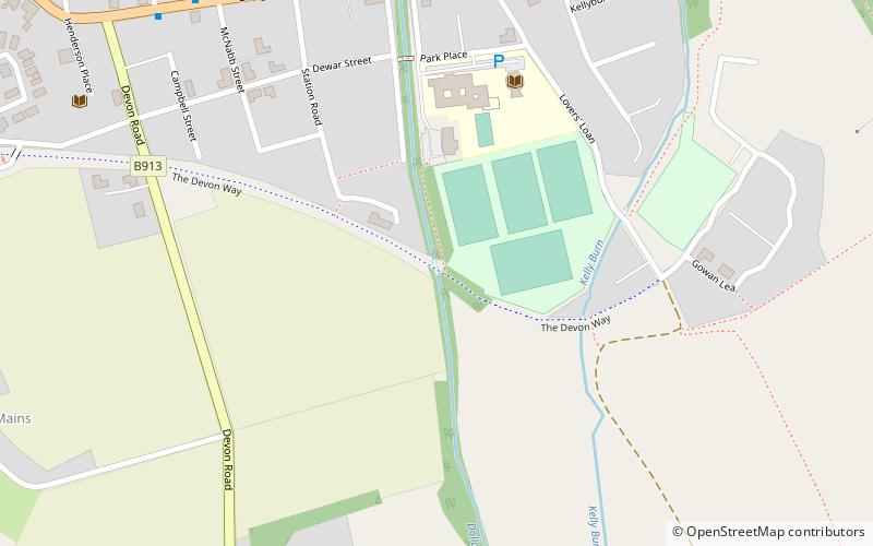
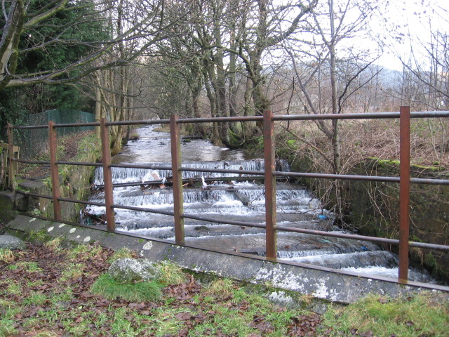
Devon Way is a pathway in Clackmannanshire, Central Scotland. It lies on the southern section of the former Devon Valley Railway from Dollar to Tillicoultry a distance of 3+1⁄4 miles. It is used by for walkers, cyclists and horse riders and forms part of Route 767 on the National Cycle Network. ()
Coordinates: 56°9'35"N, 3°40'14"W
Address
Dollar
ContactAdd
Social media
Add
Day trips


