Ben Cleuch
Map

Map

Facts and practical information
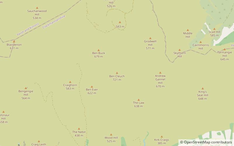
Ben Cleuch is a hill in the Ochil Hills range, part of the Central Lowlands of Scotland. It is the highest point in the range, Clackmannanshire and the Central Belt of Scotland; the summit is marked by a trig point within a stone windshelter and a viewpoint indicator. ()
Elevation: 2365 ftProminence: 1952 ftCoordinates: 56°11'8"N, 3°46'10"W
Location
Scotland
ContactAdd
Social media
Add
Day trips
Ben Cleuch – popular in the area (distance from the attraction)
Nearby attractions include: Devon Way, Castle Campbell, Alloa Tower, St. Mungo's Parish Church.


