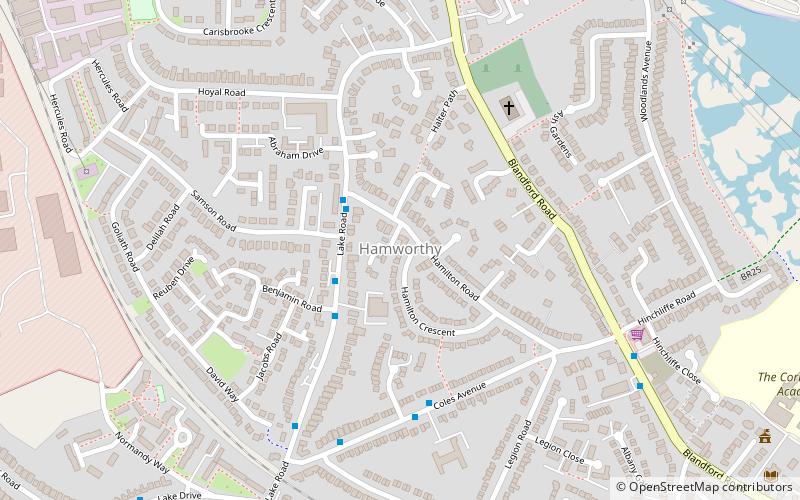
Hamworthy, Poole
Map

Map

Facts and practical information
Hamworthy is a village, parish, peninsula and suburb of Poole in Dorset, England. It is sited on a peninsula of approximately 3 square kilometres that is bordered by the town of Upton to the north, Poole Harbour to the south, Lytchett Bay to the west and Holes Bay to the east. Poole Bridge, the southern terminus of the A350 road, connects the suburb with the town centre. Hamworthy is the location of the Port of Poole ferry passenger terminal and cargo handling operations. ()
Coordinates: 50°43'4"N, 2°0'44"W
Address
Hamworthy EastPoole
ContactAdd
Social media
Add
Day trips
Hamworthy – popular in the area (distance from the attraction)
Nearby attractions include: Statue of Robert Baden-Powell, Upton Country Park, St James' Church, Port of Poole.
Frequently Asked Questions (FAQ)
Which popular attractions are close to Hamworthy?
Nearby attractions include Hamworthy Beach, Poole (16 min walk), Ham Common, Poole (18 min walk), Twin Sails Bridge, Poole (22 min walk).
How to get to Hamworthy by public transport?
The nearest stations to Hamworthy:
Bus
Train
Bus
- Hamilton Road • Lines: 8, 9 (2 min walk)
- Hamworthy Labour Club • Lines: 8, 9 (2 min walk)
Train
- Hamworthy (16 min walk)


