Poole Bridge, Poole
Map

Map

Facts and practical information
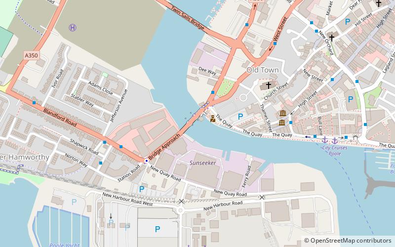
Poole Bridge is a bascule bridge in Poole, Dorset, England. Constructed in 1927, the bridge provides a road link across a busy boating channel. In February 2012 a second bridge was completed intending to operate in conjunction with the existing bridge ()
Coordinates: 50°42'45"N, 1°59'33"W
Address
Blandford Rd.Hamworthy EastPoole BH1 5 4
ContactAdd
Social media
Add
Day trips
Poole Bridge – popular in the area (distance from the attraction)
Nearby attractions include: Dolphin Shopping Centre, Statue of Robert Baden-Powell, Baiter Park, St James' Church.
Frequently Asked Questions (FAQ)
Which popular attractions are close to Poole Bridge?
Nearby attractions include Poole Lifeboat Station, Poole (1 min walk), St James' Church, Poole (4 min walk), Poole Museum, Poole (5 min walk), Scaplen's Court, Poole (5 min walk).
How to get to Poole Bridge by public transport?
The nearest stations to Poole Bridge:
Bus
Train
Bus
- Dee Way • Lines: 60, 9 (2 min walk)
- Carter's Quay • Lines: 60, 8, 9 (5 min walk)
Train
- Poole (16 min walk)
- Hamworthy (38 min walk)


