Priory Park, Dudley
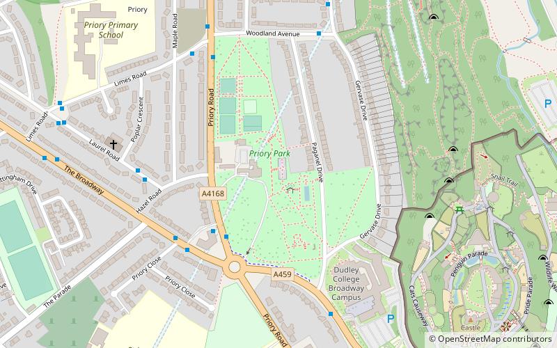
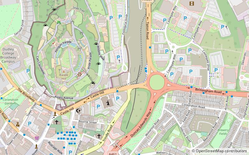
Map

Map

Facts and practical information
Dudley Priory is a dissolved priory in Dudley, West Midlands, England. The ruins of the priory are located within Priory Park, alongside the Priory Estate, and is both a scheduled monument and Grade I listed. The ruins received this status on 14 September 1949. ()
Established: 1160 (866 years ago)Elevation: 604 ft a.s.l.Coordinates: 52°31'0"N, 2°5'9"W
Day trips
Priory Park – popular in the area (distance from the attraction)
Nearby attractions include: Black Country Living Museum, Dudley Castle, JB's, Dudley Council House.
Frequently Asked Questions (FAQ)
Which popular attractions are close to Priory Park?
Nearby attractions include Dudley College, Dudley (4 min walk), Dudley Castle, Dudley (8 min walk), Dudley Council House, Dudley (9 min walk), Dudley Museum and Art Gallery, Dudley (9 min walk).
How to get to Priory Park by public transport?
The nearest stations to Priory Park:
Bus
Train
Bus
- Priory Rd / Hazel Rd • Lines: 27, 27A, 8, 81, 82, X8 (3 min walk)
- Laurel Rd / Poplar Crescent • Lines: 27, 27A, 81 (5 min walk)
Train
- Tipton (33 min walk)


