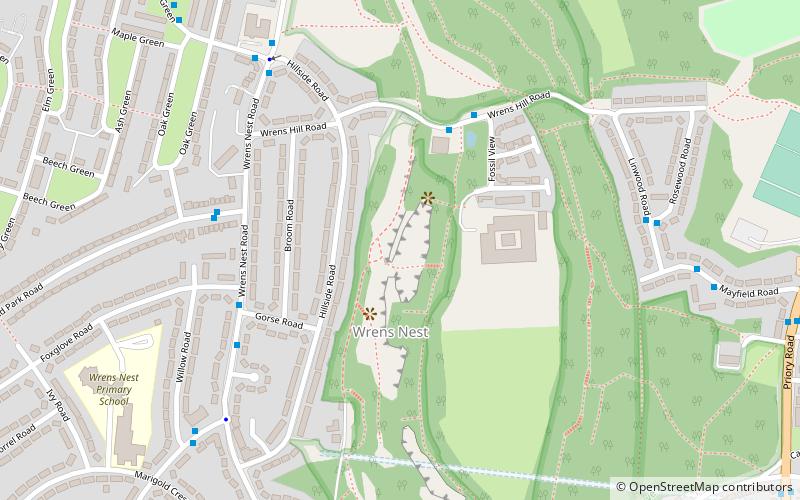
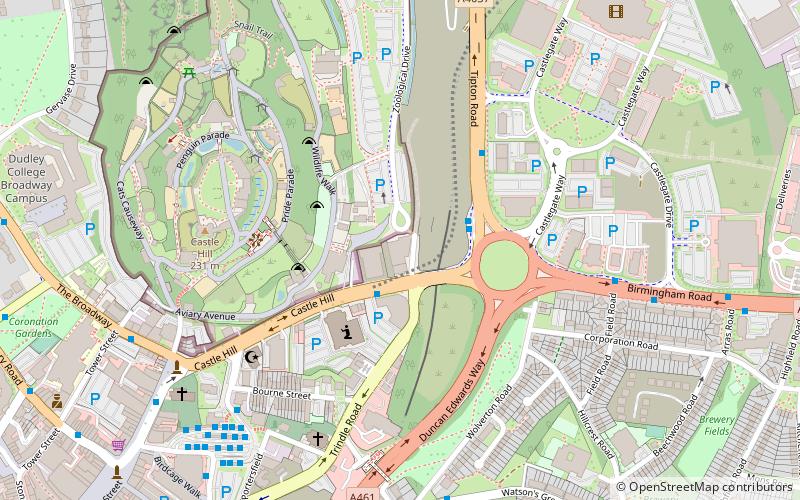
Black Country Geopark, Dudley

Gallery (1)
Map
Map
Facts and practical information
The Black Country UNESCO Global Geopark is a geopark in the Black Country, a part of the West Midlands region of England. Having previously been an ‘aspiring Geopark’, it was awarded UNESCO Global Geopark status on 10 July 2020. ()
Elevation: 666 ft a.s.l.Coordinates: 52°31'34"N, 2°5'46"W
Address
Dudley (Castle and Priory)Dudley
ContactAdd
Social media
Add
Getting there by public transportation
Public transportation stops near this location
- Bus
 Bus
Bus
- Calculate routeWrens Nest Rd / Gorse Rd 5 min walk
- Calculate routeOld Park Rd / Oak Green 5 min walk
- Calculate routeWrens Nest Rd / Hillside Rd 6 min walk
- Calculate routeSummer Rd / Willow Rd 7 min walk
Day trips


Frequently Asked Questions (FAQ)
Which popular attractions are close to Black Country Geopark?
Nearby attractions include Wren's Nest, Dudley (3 min walk), Mons Hill, Dudley (7 min walk), Dudley College, Dudley (17 min walk), Black Country Urban Forest, Dudley (19 min walk).
How to get to Black Country Geopark by public transport?
The nearest stations to Black Country Geopark:
Bus
Bus
- Wrens Nest Rd / Gorse Rd • Lines: 27, 27A, 81, 82 (5 min walk)
- Old Park Rd / Oak Green • Lines: 27, 27A, 81 (5 min walk)