Duke's Cut, Oxford
Map

Map

Facts and practical information
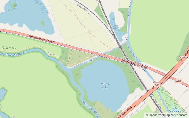
Duke's Cut is a short waterway in Oxfordshire, England, which connects the Oxford Canal with the River Thames via the Wolvercote Mill Stream. It is named after George Spencer, 4th Duke of Marlborough, across whose land the waterway was cut. It is seen as a branch of the Oxford Canal. ()
Length: 1320 ftCoordinates: 51°47'29"N, 1°17'48"W
Address
Oxford
ContactAdd
Social media
Add
Day trips
Duke's Cut – popular in the area (distance from the attraction)
Nearby attractions include: Godstow, Wolvercote Common, Wolvercote Cemetery, North Wall Arts Centre.
Frequently Asked Questions (FAQ)
Which popular attractions are close to Duke's Cut?
Nearby attractions include Wolvercote Meadows, Oxford (14 min walk), Wolvercote Common, Oxford (18 min walk), A34 Road Bridge, Oxford (20 min walk), Godstow Bridge, Oxford (22 min walk).
How to get to Duke's Cut by public transport?
The nearest stations to Duke's Cut:
Bus
Train
Bus
- Elmthorpe Road • Lines: 35 (16 min walk)
Train
- Oxford Parkway (33 min walk)


