Durdham Down, Bristol
Map
Map

Facts and practical information
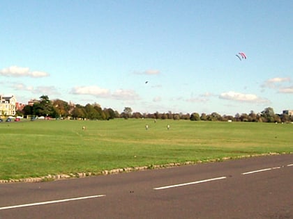
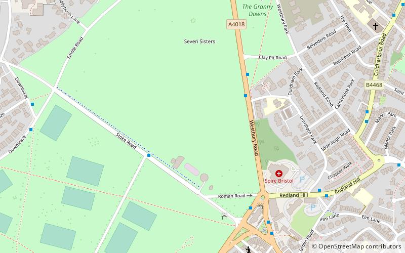
Durdham Down is an area of public open space in Bristol, England. With its neighbour Clifton Down to the southwest, it constitutes a 400-acre area known as The Downs, much used for leisure including walking, jogging and team sports. Its exposed position makes it particularly suitable for kite flying. Durdham Down is the part of the Downs north of Stoke Road.. ()
Elevation: 305 ft a.s.l.Coordinates: 51°28'24"N, 2°37'5"W
Day trips
Durdham Down – popular in the area (distance from the attraction)
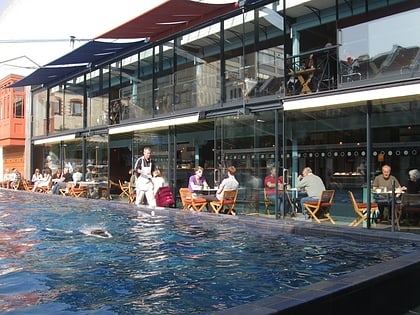
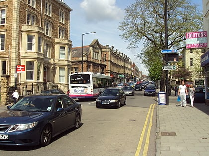
Nearby attractions include: Lido, Whiteladies Road, Gloucester Road, Bristol Zoo.
Frequently Asked Questions (FAQ)
Which popular attractions are close to Durdham Down?
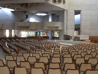
Nearby attractions include University of Bristol Botanic Garden, Bristol (12 min walk), Redland Green, Bristol (12 min walk), Redland Chapel, Bristol (13 min walk), Rainmaker Gallery, Bristol (14 min walk).
How to get to Durdham Down by public transport?
The nearest stations to Durdham Down:
Bus
Train
Bus
- Black Boy Hill • Lines: 9 (5 min walk)
- Grove Road • Lines: 8, 9 (7 min walk)
Train
- Clifton Down (18 min walk)
- Redland (23 min walk)

