St Thomas' Church, Leicester

Gallery (1)
Map
Map
Facts and practical information
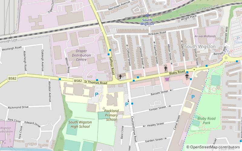
St Thomas’ Church, South Wigston is a Grade II* listed parish church in the Church of England in South Wigston, Leicestershire. ()
Coordinates: 52°34'47"N, 1°8'9"W
Getting there by public transportation
Public transportation stops near this location
- Train
 Train
Train
- Calculate routeSouth Wigston 5 min walk
Day trips


Frequently Asked Questions (FAQ)
How to get to St Thomas' Church by public transport?
The nearest stations to St Thomas' Church:
Train
Train
- South Wigston (5 min walk)